8 great pub walks: thirst-generating day hikes around the country, combining stunning trails with lovely local ales
Our favourite pub walks lead to historic and picturesque establishments, offering warm welcomes and bucolic beer gardens
The only thing better than a trek in the wilds is a pub walk that takes you via a rural hostelry, where muddy boots are welcome and the ales are as tasty as the surrounding trails.
A good pub walk is a weekend tradition that’s enjoyed year-round by explorers of the British countryside, with each season offering it’s own delights. In summer, many hikers seek out pubs with sensational beer gardens, to sink a well-earned cold brew with a view, while winter walkers will navigate their way along frosty footpaths straight to a table nearest the crackling bar-room fire.
Whether to have the pub at the beginning, the middle or end of a walk is a contentious issue – it can be hard to leave once you’ve settled into a good pub. We have included a mixture of options here, in this selection of our favourite pub walks around the country.
1. The Isle of Purbeck and the Square & Compass – Dorset
A classic Jurassic Coast pub walk from Corfe Castle to Swanage, via Dancing Ledge and one of the very best walkers’ pubs in the country
- Distance: 18km (11 miles)
- Ascent/descent: 305m (1,000ft)
- Start: Corfe Castle car park
- Finish: The Square & Compass
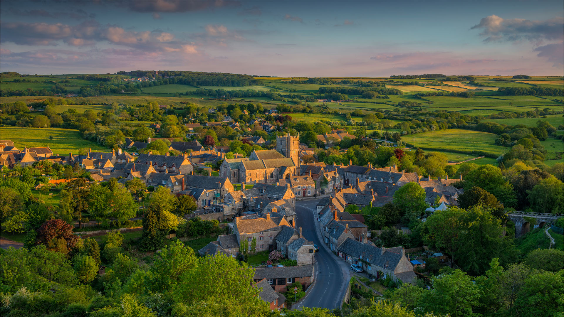
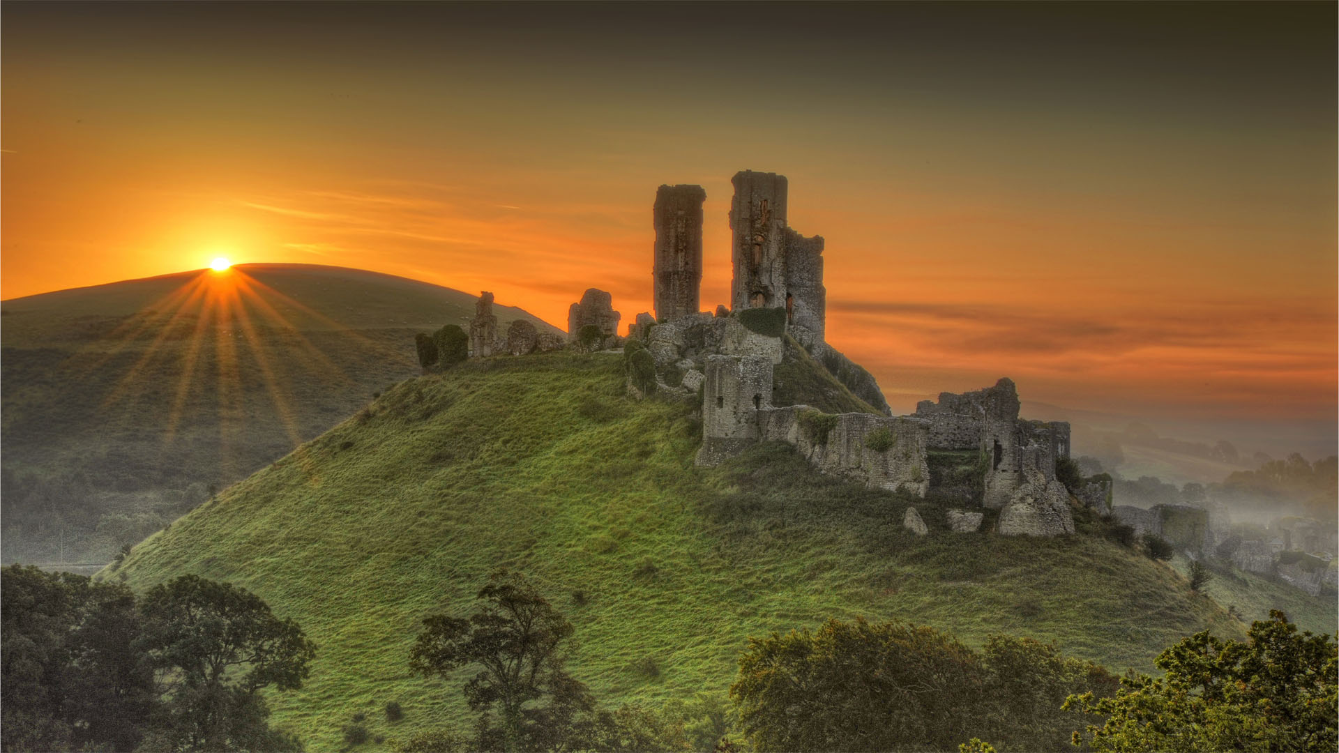
Originally built by William the Conqueror in the 11th-century, and nearly annihilated during the English Civil War, the hilltop ruins of Corfe Castle form a stunning silhouette on the skyline of Purbeck Island between Wareham and Swanage. This walk takes you from the fringe of the thousand-year-old battlements to the coast, with a trip to one of the best walkers’ pubs in the South West.
Approach the castle via the stream that flows around the ruin. Explore the outer defences and enjoy the view, then enter the village and follow West Street to Corfe Common. Cross the common and pick up the Hardy Way, a long distance path (LDP) that strolls between the many places featured in the works of Wessex author Thomas Hardy.
At Kingston, head left along a connecting path, and then right along the Purbeck Way, another LDP. At a fork in the way at the foot of North Hill, follow a fingerpost pointing towards Worth Matravers. Here you will find the Square and Compass, a sensational pub that’s been serving local ales since 1776 and is a huge hikers’ haunt. Beer and pasties (no fancy food here) are served from a hatch between two atmospheric rooms - one of which leads to a tiny little museum displaying fossils fossicked from the Jurassic Coast – and the garden has big stone seats and benches, looking towards the sea.
All the latest inspiration, tips and guides to help you plan your next Advnture!
The only problem with this place is that, on a sunny day especially, it is very hard to leave. When you do tear yourself away, take the path that bears left out of the village. When you meet the waves at Seacombe Cliff, tune left along the South West Coast Path. Trace this sensational headland-hugging track, keeping the sea on your right, all the way to Swanage.
En route you will pass several caves and Dancing Ledge, an iconic limestone plateau washed by waves, where rock climbers cling to cliffs. Look out for Tilly Whim Caves and the big stone globe at Durlstone Head, and from Peveril Point enjoy the views of the Pinnacles and Old Harry rocks on the far side of Swanage Bay.
From Swanage, you can either climb the hill to the north of the town and then walk left along the ridgeline path across Ballard and Nine Barrow downs, and around the flanks of Godlingston and Brenscombe hills, back to Corfe – or get a bus (or steam train) if you’ve run out of puff.
2. Edale, Kinder Scout and The Old Nag’s Head, Grindsbrook – Peak District
A thirst-earning pub walk from the start of the Pennine Way to the peak of Kinder Scout, scene of a historic access protest, and back for a pint at a personality-permeated Peak District establishment
- Distance: 17.7km (11 miles)
- Ascent/descent: 518m (1,700ft)
- Start/finish: Edale
- Pub: Old Nag’s Head
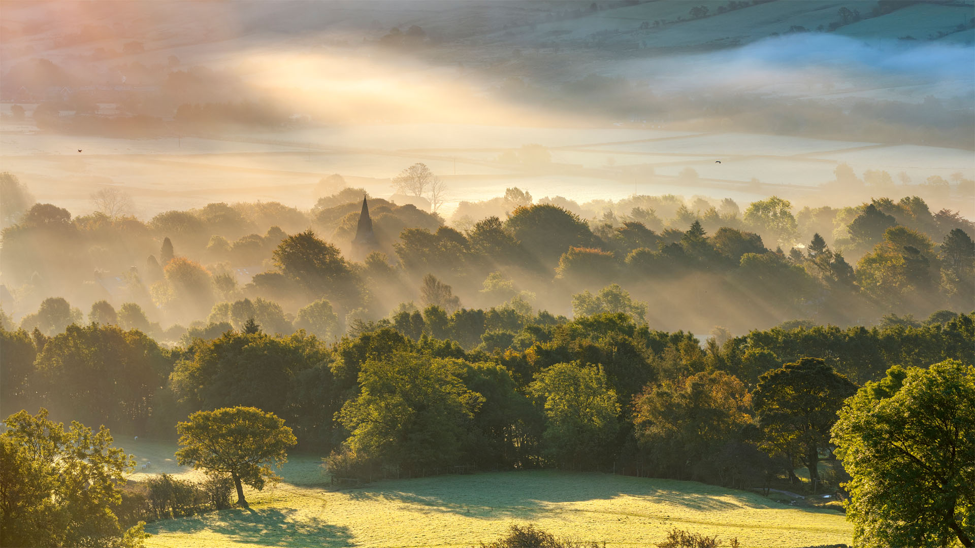
Conceived and plotted in the 1930s, the 412km (256-mile) Pennine Way is Britain’s oldest Long Distance Footpath, and remains one of the country’s most loved. It starts (or finishes, depending on hikers’ direction of travel) at the Old Nag’s Head, which is where we’ll end up at the end of this peak-bagging bimble, and rambles all the way to Kirk Yetholm on the England-Scotland border. This walk will give you a little taste of the epic trail.
From Edale train station / car park, walk north up the road to Grindsbrook. Just before the pub (wait for it…), you’ll meet the southern trailhead of the Pennine Way. Follow the waymarkers to the campsite at Upper Booth, over a 17th-century stone packhorse bridge across the River Noe to Jacob’s Ladder, a set of stone steps leading up the hillside. Turn right here, and divert to scale the 636-metre (2,087ft) peak of Kinder Scout.
This hillside was the scene of the Mass Trespass on 24 April 1932, an act of collective defiance by around 400 people, protesting the lack of access for walkers to countryside areas. The day ended in violence, as walkers were attacked by the landowner’s gamekeepers and arrested by police, leading to jail terms for some. Eventually, however, the furore around the much-celebrated Kinder Trespass is credited with paving the way to the passing of National Parks legislation, leading to the creation of national parks and Areas of Natural Beauty, long distance footpaths such as the Pennine Way, and ultimately the securing of access rights enshrined by the Countryside and Rights of Way Act (CROW), giving us all the ‘right to roam’ in many areas.
You can thank the trespassers as you enjoy the walk around the Kinder plateau, returning to the Pennine Way at Edale Rocks and hiking to Kinder Low and the waterfall at Kinder Downfall. Turn right here and follow the footpath back to Grindsbrook via Crowden Tower and Grindslow Knoll.
Celebrate your adventure (and raise a glass to the activists whose brave actions all those decades ago made it possible) in the Old Nag’s Head, a low-beamed character-soaked pub dating back to 1577.
3. Harting Down and The Three Horseshoes – South Downs, West Sussex
Stroll along a section of the South Downs Way to a pub garden with gorgeous views across the Weald
- Distance: 10.5km (6½ miles)
- Ascent/descent: 282m (925ft)
- Start/finish: Harting Down carpark
- Pub: The Three Horseshoes, Elsted
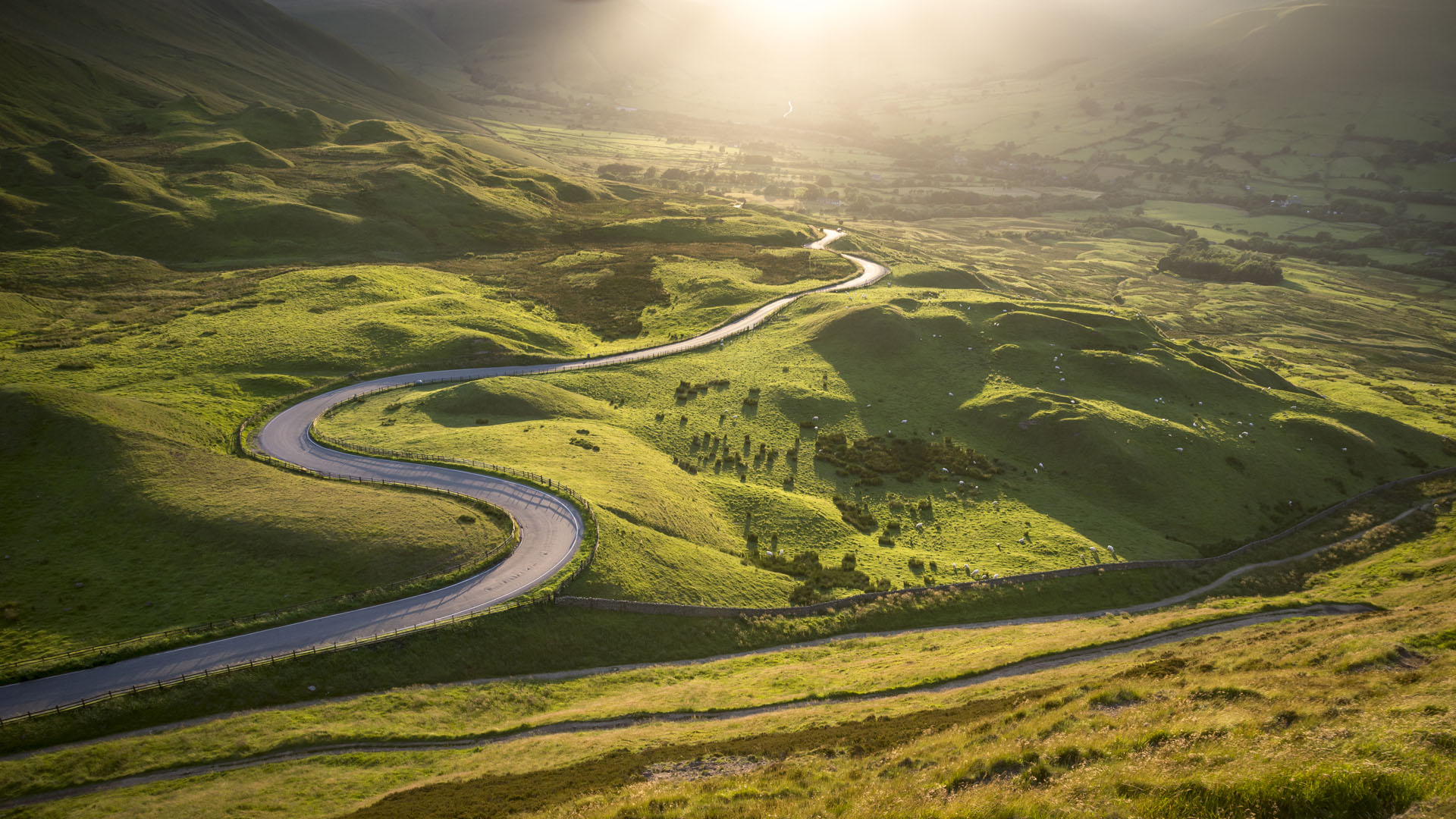
The South Downs is a sensational series of chalky hills that runs across the bucolic bumps of England’s South East. The South Downs Way (SDW) follows a rollercoaster route along this undulating ridgeline, and this walk joins it for a short time, before parachuting you into a village pub with a wonderful garden, which serves gravity poured local ales from nearby breweries.
It’s a perennially popular place for walkers to explore, and there are many magical village pubs tucked into the folds of the hills. We have chosen the Three Horseshoes in Elsted, for its unique character. There are 10 peaks in the South Downs that stand higher than 700 feet tall, and this route takes you over two of them, so you will be earning your pint.
From the National Trust car park at Harting Down, follow signage to join the South Downs Way as it clambers around the flanks of Harting Down. After descending into a Bramshott Bottom, leave the South Downs Way temporarily to scale the brow of Beacon Hill 242m (793ft), once the lofty location of a Bronze Age hill fort. Spectacular views can be enjoyed from the trig point here, across the weald and out over the south coast towards Portsmouth.
Drop down the other side of Beacon Hill, pick up the South Downs Way again and then carry straight on up and over next lovely lump on the route: Pen Hill, the peak of which offers more great views along the serpentine route of the SDW. As you drop off the summit, a footpath leads left and descends steeply through the woods of Mount Sinai. Follow lanes north to the lovely little village of Elsted.
Here you will find the Three Horseshoes, a quintessentially English country pub, with a large garden patrolled by freerange chickens, offering amazing views across the South Downs, not least to Beacon Hill, where you have just come from. The cosy old bar serves several locally brewed real ales straight from the barrel, and the kitchen offers excellent meals. You can even buy a handmade walking stick from the public bar, to help you ascend the downs when you decide to make the return walk (because, it does involve some ascent).
A footpath leaves directly from the bottom of the garden and takes you right, where you join the lanes leading back the way you came. On the return route, instead of climbing back up Beacon Hill, stick to the South Downs Way as it wends around the southern side of the hill. At Little Round Down, take a left and descend to Kill Devil Copse, before turning right and following the footpath through woods to the car park.
4. Ysgyryd Fawr and the Skirrid Mountain Inn – The Black Mountains, South Wales
A pub walk taking in Wales’ oldest pub, via a myth-shrouded mountain on the eastern edge of the Brecon Beacons
- Distance: 11km (7 miles)
- Ascent/descent: 526m (1,725ft)
- Start/finish: National Trust car park on the B4521 near Abergavenny
- Pub: Skirrid Inn
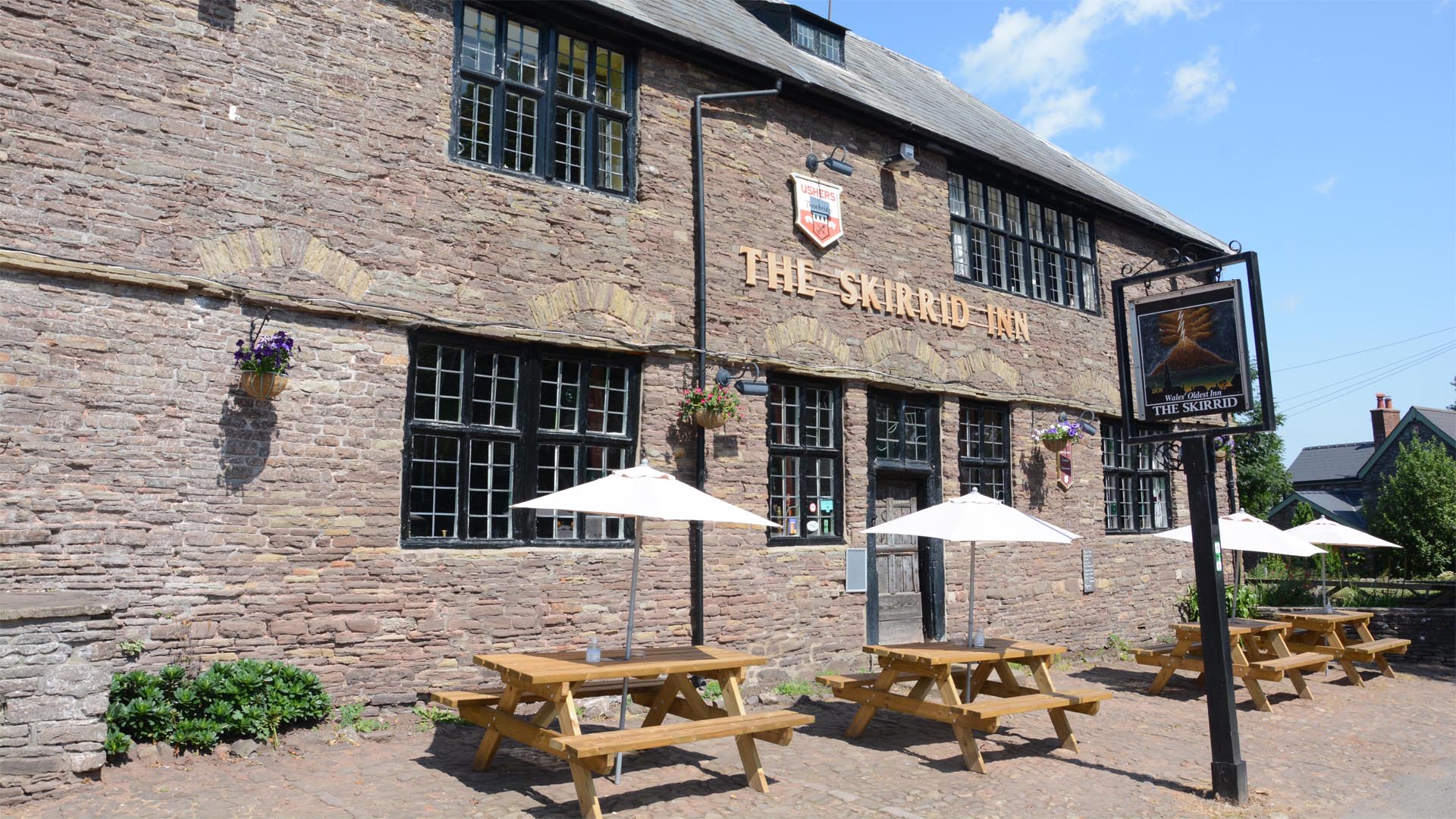
Legends circle around Ysgyryd Fawr (known as The Skirrid), an enigmatic peak on the edge of the Black Mountains, which was split in two millennia ago by – depending who you believe – the devil (angrily stomping his feet after losing a boulder-lobbing competition with a giant), God (at the moment of the crucifixion of Christ), or a dramatic landslide caused by natural forces.
Start walking from the car park, just south of the mountain, through Caer Wood. Pick up the Beacons Way and follow arrows and fingerposts pointing along a serpentine and steep route through mixed woodlands to the summit ridge.
Emerging from the treelike, enjoy views west to Sugarloaf and across the Usk and Gavenny valleys to the Brecon Beacons and the Black Mountains. Walk along the top of the mountain, to the trip point on the summit, where you can see the outline and ruined remains of the chapel of St Michael’s, built in the 16th century and secretly used by Roman Catholics after the Reformation.
Return the way you came for a couple of hundred metres, and then turn left and drop down off the peak. Follow the Beacons Way through rural farmland all the way to the Skirrid Inn at Llanvihangel Crucorney. This ancient inn, dating to the 12th century, claims to be the oldest pub in Wales and – having also seen numerous hangings over the years, mostly for the heinous crime of sheep stealing – is also reputed to be enormously haunted. It’s a wonderful pub, full of stories and character.
Retrace your footsteps to the bottom of the mountain, and then follow the path that skirts around the base, cutting through the rocky terrain left after the mysterious landslide, and walking through woods. Head back to the car park via Caer Wood.
5. Buttermere Valley and The Kirkstile Inn – The Lake District
From beautiful Buttermere, this walk winds up to Whiteless Peak and descends to a legendary watering hole in lovely Loweswater, before creeping back around the western shores of Crummock Water
- Distance: 19.5km (12 miles)
- Ascent/descent: 747m (2,450ft)
- Start/finish: Buttermere
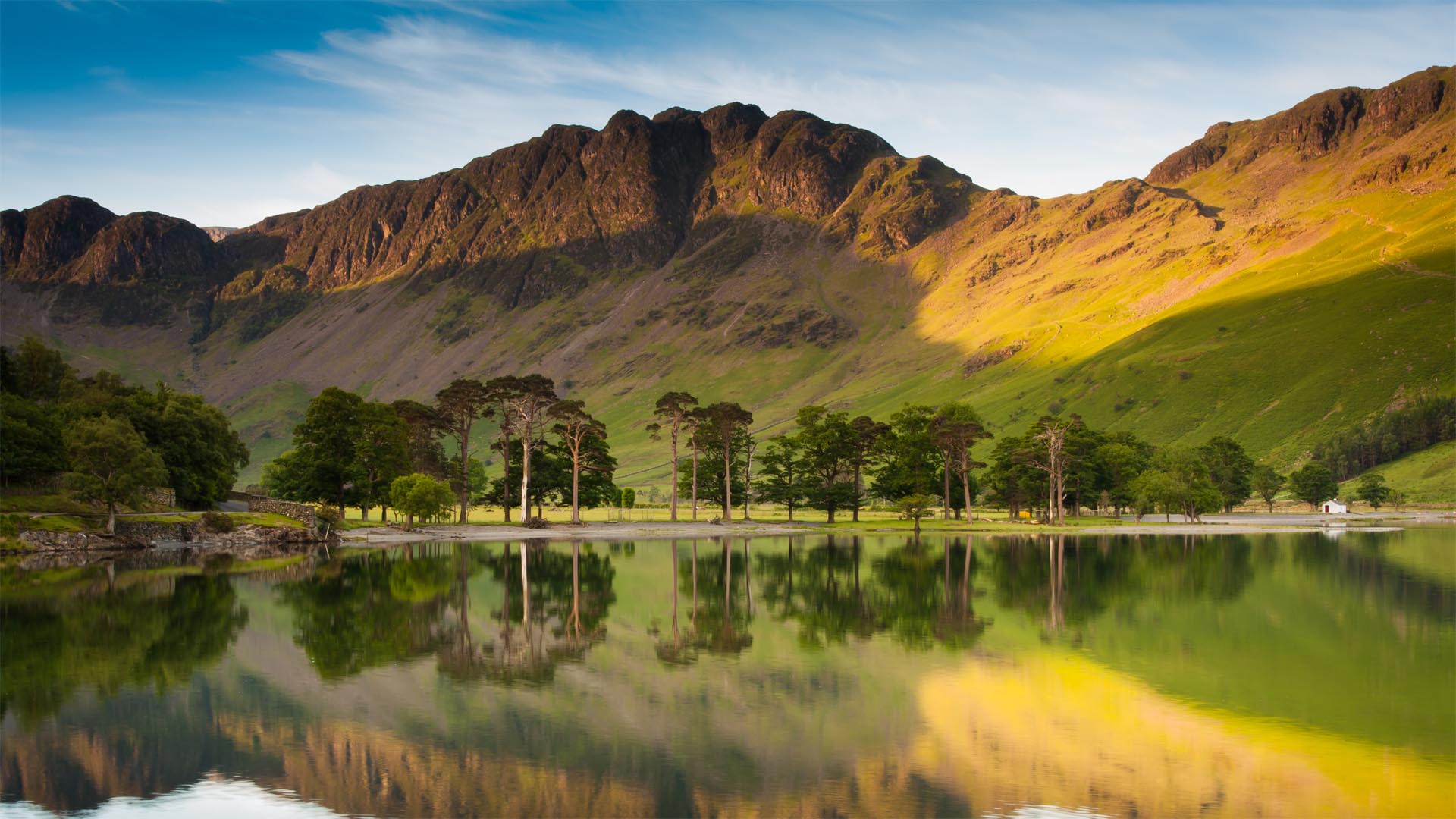
Legendary fell-walker and guidebook scribbler Alfred Wainwright described Whiteless Peak as ‘the Weisshorn of Buttermere’ – albeit for its appearance, rather than its size. But while the mountain might be a mini me version of the soaring Swiss Peak, the pub on the other side of it has a massive reputation among fell walkers and hill hikers.
From the National Trust car park just north of Buttermere, wend your way uphill along footpaths on Whiteless Breast and leading to the distinctive 660-metre (2165ft) summit of Whiteless Peak. From here, drink in the valley views across Crummock Water, Buttermere and Loweswater.
Stroll north through the saddle between Crag Hill (standing 839m/2,753ft to your right) and Grassoor (852m/2,795ft on your left), and continue past Eel Crag to Coledale Hause. Here take the footpath going left, which passes waterfalls and traces rushing Liza Beck through the fold of Gasgale Gill all the way to Lanthwaite Wood.
Follow footpaths along the northern bank of Crummock Water, across a bridge over the Cocker River, then bear right up to Loweswater, where you will find the wonderful Kirkstile Inn, a multi-award winning 16th century pub with six hand pumps and a great food offering.
After having your fill, make your way back to Crummock Water, via the base of Mellbreak, ambling beneath Raven Crag and going through Green Wood. Walk along the west bank of the lovely lake, going between High Ling and Low Ling crags, until you reach Scale Bridge, where you turn left and return to Buttermere.
6. Heddon Valley and The Hunter’s Inn – Exmoor, North Devon
A cove-caressing circular route starts and finishes in hidden Heddon Valley, tucked away on a quiet corner of coastal Exmoor
- Distance: 9km (5½ miles)
- Ascent/descent: 282m (925ft)
- Start/finish: Heddon Valley
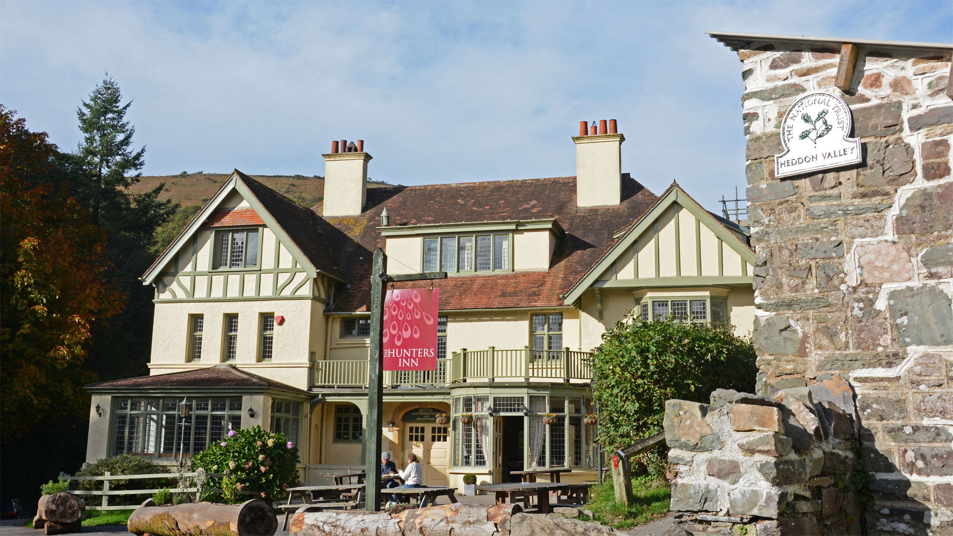
This walk, which tiptoes along North Devon’s breathtakingly beautiful clifftops, is rounded off perfectly with a pint with the resident peacocks in an impressive pub with a gorgeous garden. It sets off via a gloriously elevated bridleway – offering fantastic views, brilliant bird sightings and a Roman Fort – and returns along a cracking section of the South West Coast Path.
From the riverside car park at Heddon Valley, cross the road and pass the National Trust shop and toilets, walking towards the Hunter's Inn. Bear right of the pub, turning immediately off the road and taking the permissive bridleway. When the path forks, keep right, staying on the bridleway.
Wander through Road Wood on this broad trail, built in the 1890s as a carriageway to transport people from steamboats docking at Woody Bay to the Hunters Inn. The track emerges from the trees and coils around the curves of the valley, offering great views, including across the Bristol Channel to Lundy Island.
The vistas continue as you turn the corner and walk east along the coast. A small path branches right, leading uphill to The Beacon, an old Roman Fortlet that dates to AD75. All that remains are mounds in the ground, but you can see why the spot was used as a lookout and signal station. There's no through route, so you need to return to the main track the way you came.
The trail wends slightly inland and passes through some tree cover as it follows the contours around the combe created by Hollow Brook, before emerging to serve up wonderful views across Woody Bay.
When you hit the road, turn left (virtually straight on) and descend the hill. Take the next left, leaving the road and descending through trees (oak, ash, larch and birch) along a mixed-use track. At a sharp elbow in the track, pick up the footpath (which goes straight ahead) and enter West Woodybay Wood.
This singletrack path, a part of the South West Coast Path, creeps along the curves of the gorse-, heather- and bracken-covered cliffs, all the way back to Heddon Mouth, offering spectacular views all the way.
After crossing a small waterfall the path clambers around Burland Rocks. This is a good spot to take a breather and look back along the path you've just walked, with Wringapeak Arch forming a brilliant backdrop.
The path turns the corner above Highveer Point and descends to meet the River Heddon, rushing in the other direction towards the beach. Follow the riverbank all the way back to the Hunter's Inn.
7. Horsey Wind Pump and Nelson Head – Norfolk
A bright and breezy pub walk from the spinning sails of an extraordinary windmill, along a wildlife-rich stretch of coast where seals come ashore to pup, to a fascinating pub, and back via bit of the Broads
- Distance: 14.5km (9 miles)
- Ascent/descent: 15m (50ft)
- Start/finish: Horsey Wind Pump car park
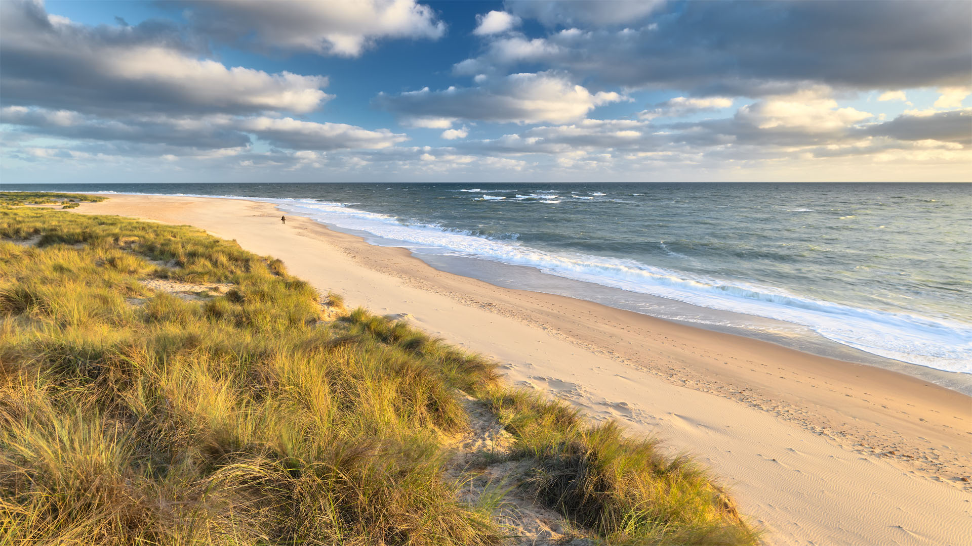
After being struck by lightning 1943, the iconic Horsey Windpump in Norfolk stood stationary and injured for 75 years. In 2019 however, a restoration project was completed, and the sails are now catching wind and turning once again. This walk takes you from the wonderful windmill’s base on a water-themed wander around bits of the broads and a stretch of coastline where birds and seals are abundant, to a charismatic pub awash with local history.
Before you start walking, head on up the Hornsey Wind Pump for a great view of the land- and waterscape you’re about to explore on foot. Climb back down and follow the footpath around the banks of the nearby broad, Horsey Mere, crossing footbridges and passing by floating meadows.
Keep going along the path, towards the derelict windmill at Brograve. Turn right here and keep walking past Horsey Corner, before tuning left out onto the road. Do a dogleg, turning right on the road then left along the lane and walk until you hit the beach at Horsey Gap.
Turn right and walk along the top of the beach, or through the dunes, according to your preference and the timing of your walk – beach access is restricted around here between October and January to provide protection to the local wildlife, which includes large number of common and grey seals. The latter come up onto Horsey Beach between October and March to give birth to pups.
Walk along the coastline, with the sea on your left, looking for seals and sea birds – it’s worth keeping your eye out for whales too along this coast. At Winterton Dunes, a national nature reserve, turn around and walk back along the beach with the sea on your right.
At Bramble Hill, turn left and walk along ‘The Street’ towards Horsey. As you approach the village, you’ll find the Nelson Head pub on your right, named after Norfolk’s most famous son, who was born in Burnham Thorpe, further up the Norfolk coast. The pub features Nelson memorabilia and lots of local photos and information, and has several real ales served with hand pumps. There’s also a large garden, and good feed is served.
Leave the pub and make your way through the village to the Windpump, which stands proud and impossible to miss on the skyline.
8. Glencoe and the Clachaig Inn – Scottish Highlands
An easy walk in the voluptuous valley of Glen Coe, scene of a bloody massacre in 1692, but also home to Hagrid’s hut, hordes of wild beasts and a fantastic Highland hostelry
- Distance: 3.6km (2¼ miles)
- Ascent/descent: 38m (125ft)
- Start/finish: Car park on north side of A82
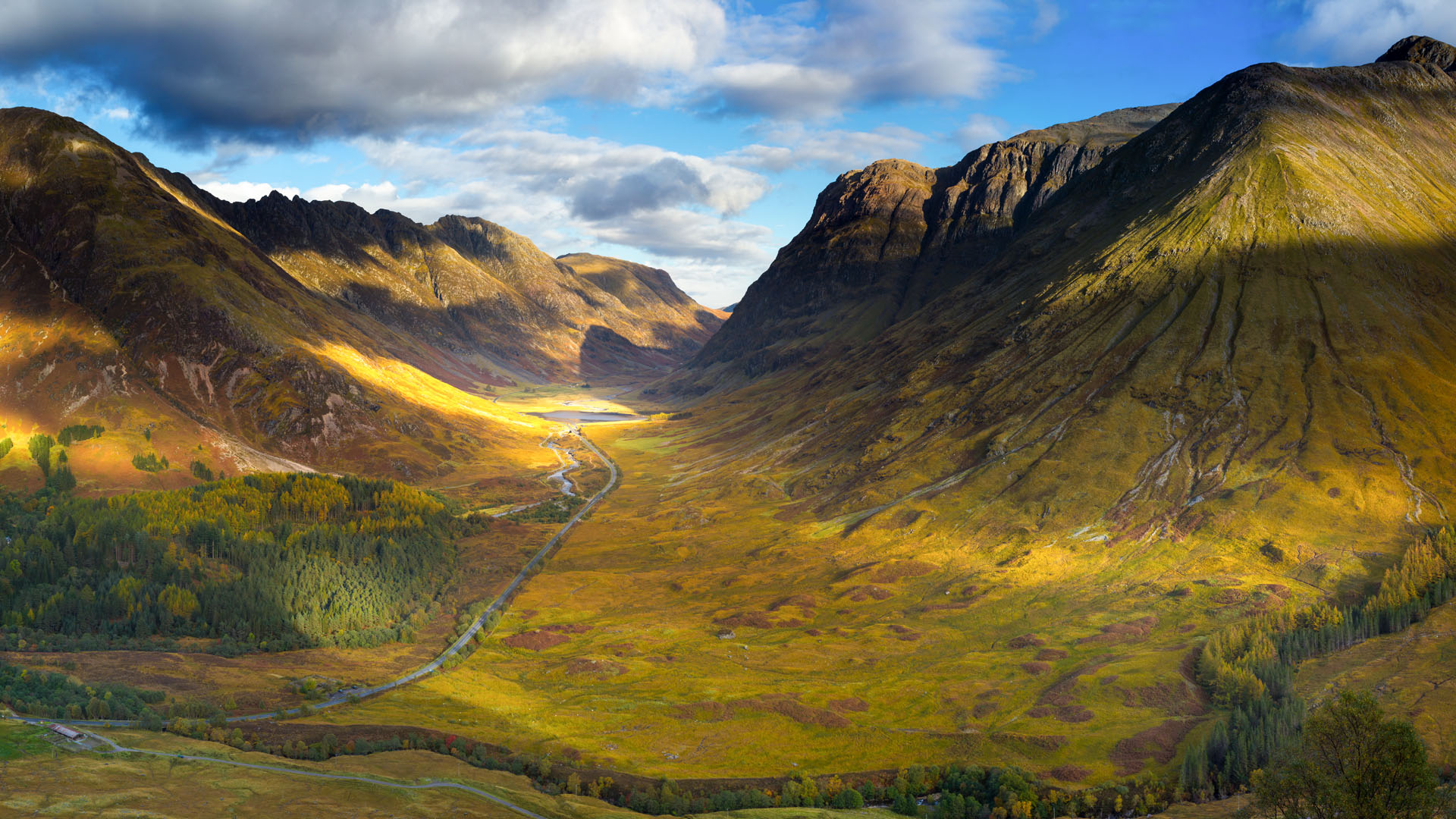
There are plenty of hardcore hikes in the Highlands, and while having a drink in the Clachaig Inn you will inevitably meet climbers and munro-baggers about to tackle trips up Sgorr nam Fiannaidh, perhaps with a scramble along the infamous ridge of Aonach Eagagh. A slightly more accessible adventure can be enjoyed up to Sgorr na Cìche (the Pap of Glencoe), but our pub walk is an altogether more casual affair, which can be enjoyed year round by people of all fitness levels and outdoor ability.
From the car park, walk across the bridge over the River Coe, enjoying the views along this wonderful waterway, to the peak of Bidean nam Bian in one direction and through a gully in the other. Enter the trees of An Torr and follow signs to Signal Rock on Tom a Ghrianain.
It is from here that the signal was given to begin the Glencoe Massacre, a shocking incident that happened on 13 February 1692, when around 30 members of Glencoe’s Clan MacDonald were slaughtered by Scottish government forces, ostensibly because the clan’s chief had failed to pledge allegiance to William of Orange by a certain deadline.
Make your way back to the ‘Old Road’, wending through the wonderful woodlands of An Torr, and when you reach the road, turn right and then head along a track leading left. This will take you to a spot overlooking Torren Lochan, filming location for the scenes featuring Hagrid’s hut in the 2004 movie Harry Potter and the Prisoner of Azkaban.
Once you’ve had a look around for Buckbeak and other hippogriffs, turn back and head along the Old Road to the Clachaig Inn, a pub full of climbers and hikers celebrating all sorts of adventures. Here there are three bars (The Boots, Snug and Bidean Lounge), various fireplaces and 15 handpumps pouring different ales (not to mention myriad whisky options).
Pat Kinsella – author of Pocket Mountains’ 40 Coast and Countryside Walks in Devon and Dorset – is currently writing a book about pub walks for National Trust Publishing and Pavilion Books

Author of Caving, Canyoning, Coasteering…, a recently released book about all kinds of outdoor adventures around Britain, Pat has spent 20 years pursuing stories involving boots, bikes, boats, beers and bruises. En route he’s canoed Canada’s Yukon River, climbed Mont Blanc and Kilimanjaro, skied and mountain biked through the Norwegian Alps, run an ultra across the roof of Mauritius, and set short-lived records for trail-running Australia’s highest peaks and New Zealand’s Great Walks. He’s authored walking guides to Devon and Dorset, and once wrote a whole book about Toilets for Lonely Planet. Follow Pat’s escapades on Strava here and Instagram here.
