My Favourite Hike: the Roseland Peninsula in Cornwall
The Roseland Peninsula circular walk gives big sea views on the outward leg and the return threads along a hidden river
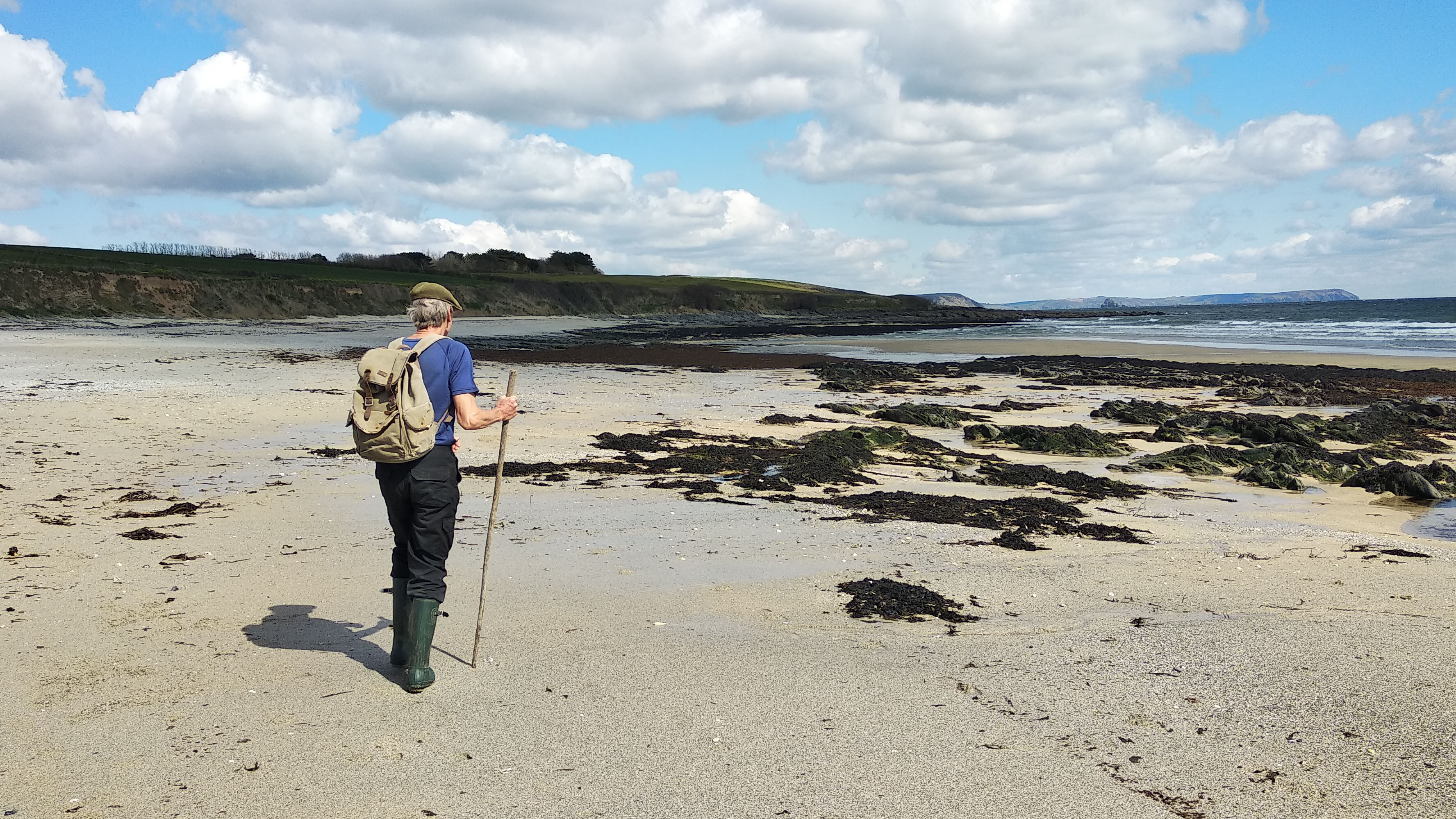
The Roseland Peninsula
Our My Favourite Hike series continues with Advnture contributor Jasper Winn's journey around Cornwall's Roseland Peninsula.
It's a dynamic route that's never the same twice. "The loop took in the best that the peninsula had to offer,” says Jasper, “and between tide and weather it was always differently rewarding."
The route
- Start / Finish: Portscatho
- Distance: 10 miles / 16km
- Elevation gain: 50m / 175 feet
- Difficulty level: Moderate
- Duration: 4 hours
A ten-mile walk around Cornwall’s Roseland Peninsula, starting and ending in Portscatho, tracing one of the quieter stretches of the South West Coast Path, before turning inland to follow rough tracks through woodland and fields along the banks of the Percuil River. The route is clearly waymarked, though there are sections where map reading is required. Portscatho has a good shop, the Plume of Feathers pub and various cafes (seasonal), while the Thirstea Cafe at Porth (open year round) is close to the route at the 2-, and then again at the 7-mile, mark.
Though an intermediate-level walk, rain means slopes slicked with treacherous mud that can be either slippery as ice or heavy as wet cement. Good hiking boots and rain gear are advisable in all but the finest weather. Though one could storm along this route – as many SWCP completists do – allow time for beach-combing, picnics or just losing yourself in views. There’s limited parking in Portscatho. The Number 50 bus connects Portscatho to Truro (railway station) or to St Mawes (all-year ferry to/from Falmouth).
Why I love the Roseland Peninsula
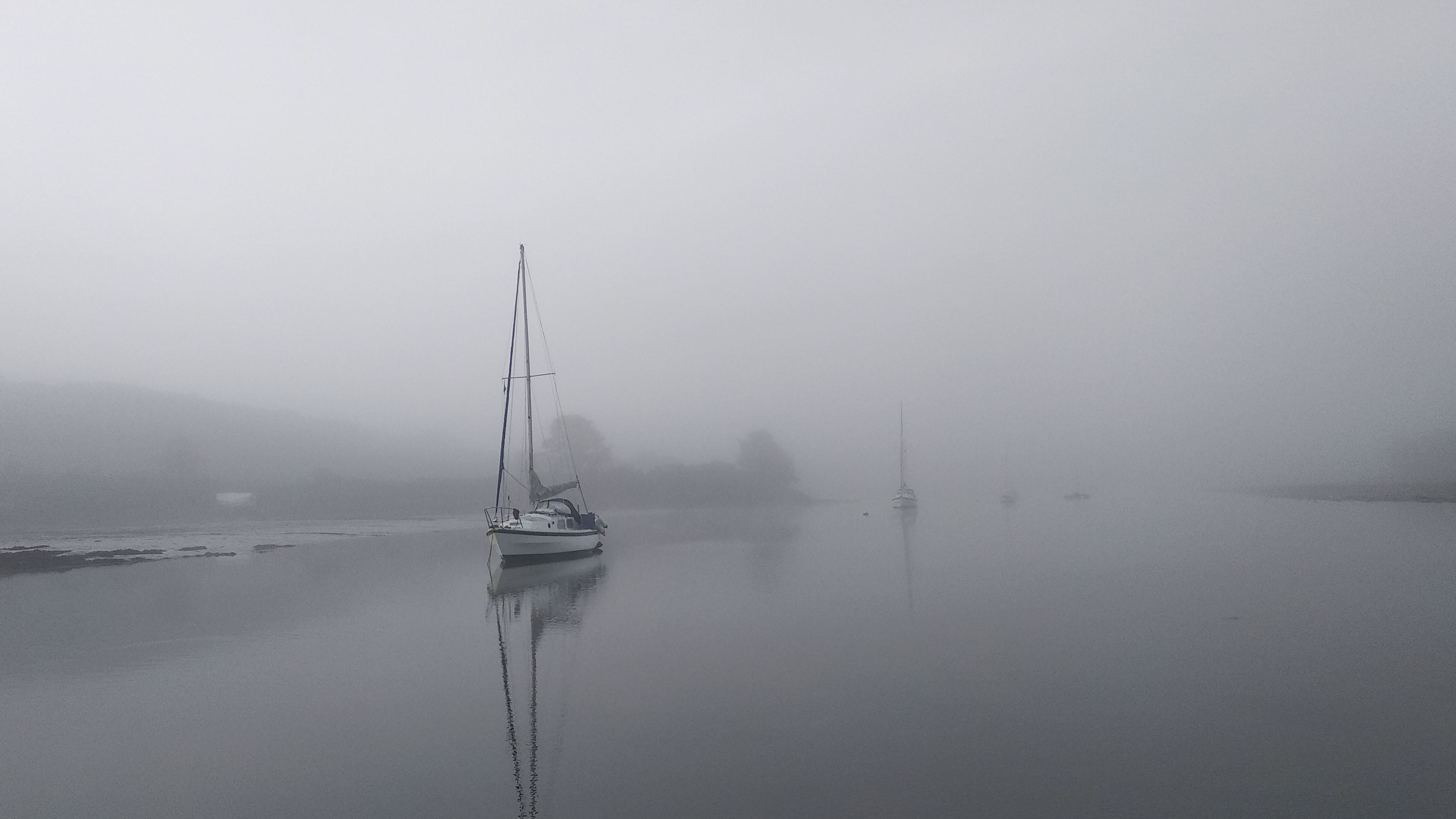
I didn’t plan on spending a winter living off-grid on a small sailing boat up a creek on Cornwall’s Roseland Peninsula. It was just the way that life’s game of musical chairs went. A game I won as a walker, I reckon. The Roseland is a ‘dangling’ dead-end peninsula and so gets fewer walkers than many other stretches of the South West Coast Path. And, being off the main route and inland, the middle of the peninsula has a network of tracks and trails, many of which only see a few local dog walkers through the year.
During my winter retreat, those were the paths that made up the my commutes, whether I was walking to Portscatho or St Mawes to shop, or heading out to collect water or firewood. One hike, though, was kept for taking a break from the demands of day-to-day on-board living: a ten-mile ‘holiday’ loop that took in the best that the peninsula had to offer, and between tide and weather was always differently rewarding.
For the perfect day out, load a daypack with cheeses, smoked fish, oat cakes and beer from the start point at Porscatho General Store, and then get straight onto the coast path. The Cornish coast goes up and down like a profit-and-loss chart, and the first few miles gain you enough height to usually see beyond Gull Rock to Dodman Point to the east, while it’s not exceptional on the clearest of days to make out Devon’s Start Point as a faint shadow on the horizon, fifty miles away, beyond Plymouth.
All the latest inspiration, tips and guides to help you plan your next Advnture!
The beach at Towan shouldn’t be resisted. It’s too early in the walk to pause for a picnic, but at low tide it’s where I’d stop to harvest pepper dulse, sugar kelp and other seaweeds, and on warm days walk a little along the sands and rock to lay out of the wind in the sun and watch grey and common seals floating on the water currents and ravens, kestrels and gulls swimming through the updraughts of air rising from the cliffs.
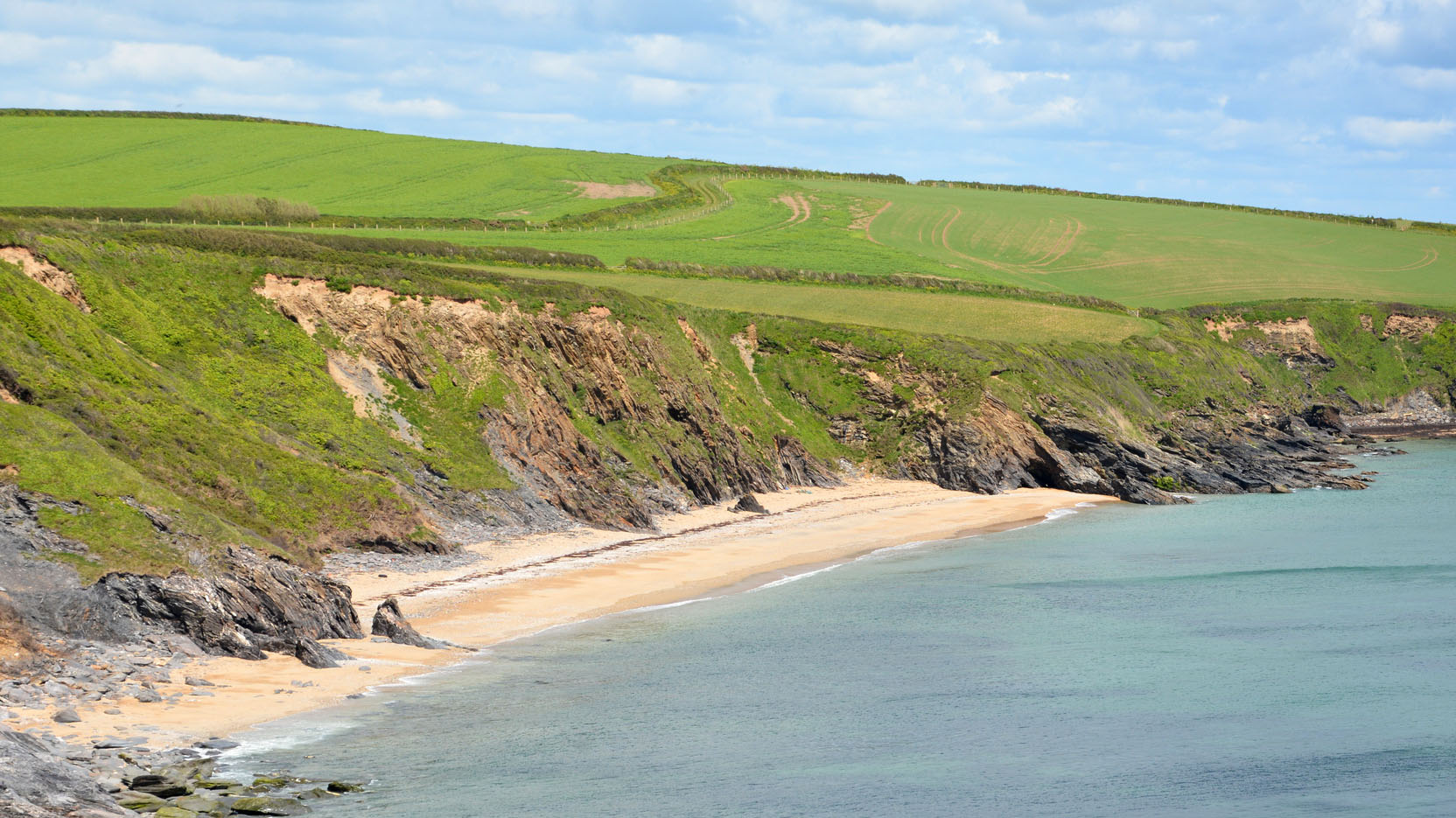
Compared to the expanse of sky, the vastness of the pewter-blue seas and the large-scale crumpled landscape, the human interventions on the Roseland seem pleasingly puny. Even St Anthony Head’s forts, arsenals, gun observation posts and lighthouse, as well as today’s views of distant shipyards in Falmouth across the busy seaway of Carrick Roads, seem small scale when reached through winter gales and big storm seas.
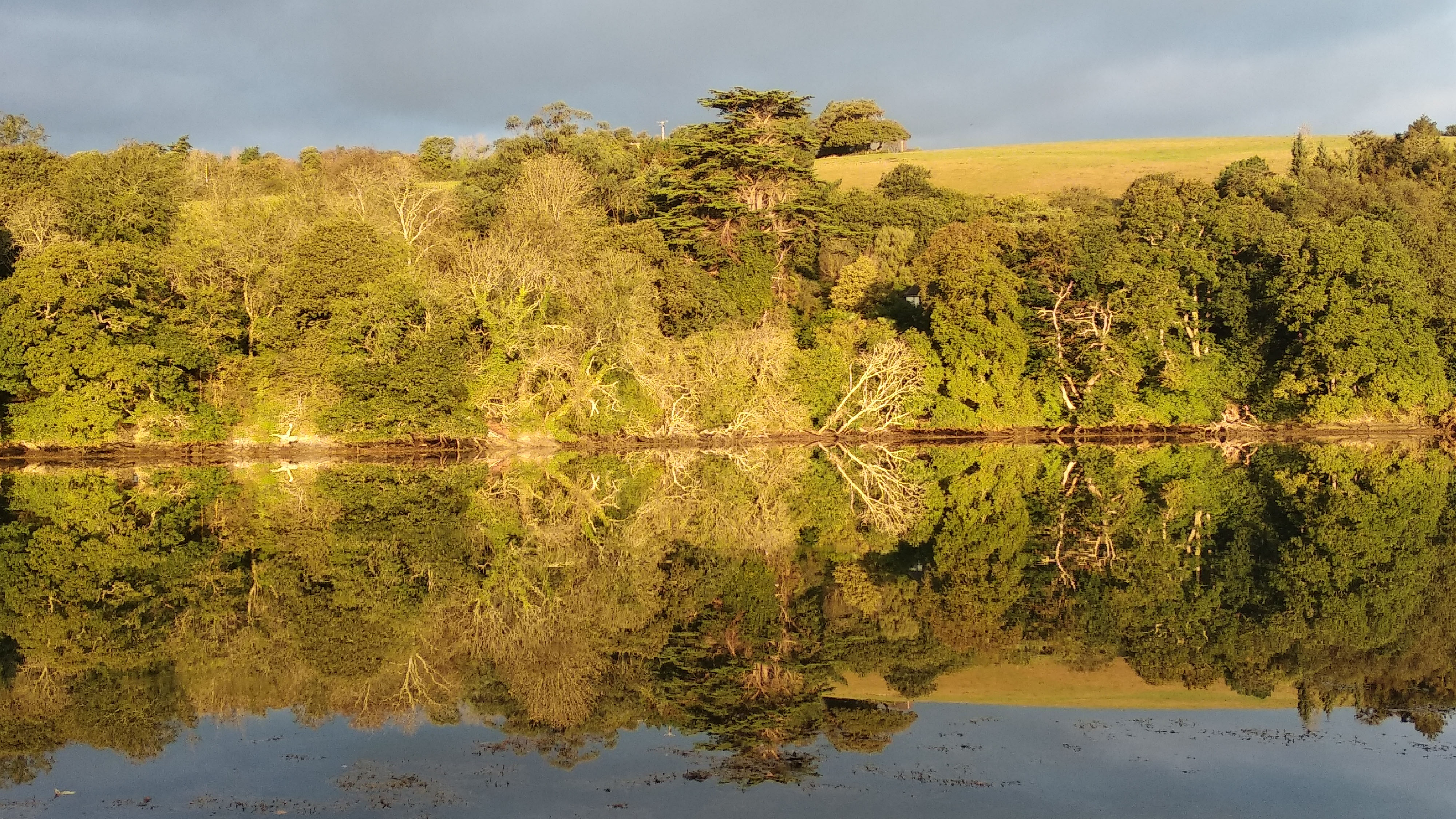
Turning inland to follow the banks of the Percuil River, (with a few lanes and a stretch of steep cross-country tracks to get from Porth, past Trewince and down to Pelyn Creek) might provide more shelter and rural rather than maritime history, but the landscape continues to eclipse the man-scape. The low sprawls of generations-old traditional farm buildings still seem young and transitory compared to the vast oaks, twisted hawthorns and other trees of the ancient woodlands that run down to the tidal water’s edge to create Cornish ‘mangroves’ of tangled roots and fall timber in the thick mud on the walk up the river bank. Abandoned hulks on the foreshore add to the African Queen atmosphere.
And, as always along this walk, it’s nature that provides the balance; look – and listen – out for curlews, redshanks and other waders, and listen, too, and watch for sparrowhawks, buzzards and the occasional peregrine falcon. Indeed binoculars or a monocular runs could be a close second to that bag of food and beer as essential kit for the hike.

Starting with long views from the coast, this is a walk that elides into a gentler and deeper river-land, slowing down and swapping the dramatic for the contemplative, and the spectacular for the subtle. The kind of walk to reset ones day, and put things into perspective.
Highlight: St Anthony Head
St Anthony Head is the point to sit back, delve into your picnic and experience all the variety of this walk in one panoramic view. Look to the horizon over the vastness of the ocean, along the folds of coast running east towards The Lizard, across Carrick Roads with its big-ship traffic bound for Falmouth, into the prettified fishing village of St Mawes and the fleet of moored sailing boats on moorings, and then inland where the sea’s waters twist their way up a wilderness of small rivers and creeks. It’s that position of command that has given St Anthony Head a legacy of forts, paraffin stores, gun battery observation posts and, importantly, the lighthouse, which has provided guidance into the Fal River since 1835.
My Favourite Hike Collection
To see the other hikes in the series on komoot, click on the Collection below...
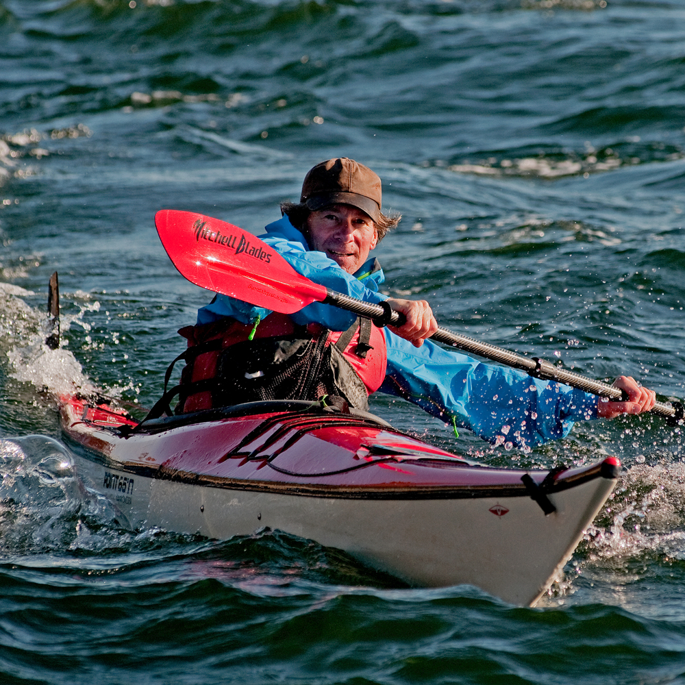
After a wild childhood in west Cork, Jasper Winn began embarking on long cycles, walks, horse journeys and kayak trips across five continents – adventures he’s decanted into books, magazine articles, radio and television documentaries. Keen on low-tech but good gear, Jasper is an advocate of slow adventures by paddle, pedal, saddle, boot and sail. He has circumnavigated Ireland by kayak and cycled across the Sahara. Twice. Having ridden north-to-south across Algeria he discovered the only way to get back was to turn round and pedal north again.
