The best walks in the Peak District: 8 great hikes for rolling hills, open moorland and spectacular scenery
Our selection of the best walks in the Peak District, taking in the spectacular landscape of the UK’s first national park
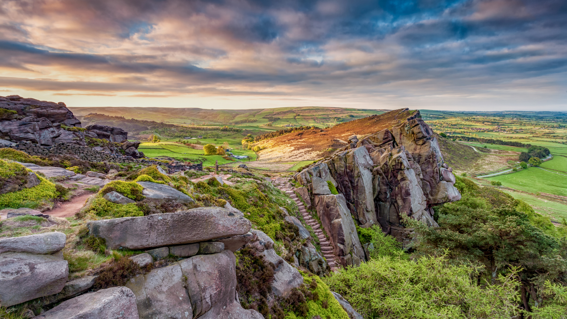
The Peak District occupies a special place in the hearts and minds of walkers in the UK. It was here, in 1932, that the Great Trespass took place, an event that resulted in much greater levels of access to wild places eventually being extended to the public, and in 1951, it was the first area in Britain to be designated a national park.
Thanks to its geographical location, ‘the Peaks’ remains the most accessible national park in the country to the greatest number of people, and yet for the most part it still feels like a wilderness waiting to be explored. If you’re not sure where to find the best walks in the Peak District (and there are multiple entry points), we’re here to help.
Spanning five counties – Derbyshire, Cheshire, Staffordshire, Yorkshire and Greater Manchester – we’ve put together a guide to eight of the best walks in the Peak District, covering leisurely rambles that explore the tranquil countryside to routes that take in the striking Gritstone outcrops and views of the rolling moorland the Peak District is famous for.
Interestingly, the name ‘Peak’ does not relate to mountains (as there are none) – it is thought to derive from the Pecsaetan, an Anglo-Saxon tribe who settled the area. Villages of interest include Castleton (famous for caverns, the ‘shivering mountain’ of Mam Tor, Winnat's Pass and Peveril Castle), Eyam (the pretty ‘plague village’) and Hathersage (reputed grave-site of Robin Hood’s big buddy Little John) – all of which are in close proximity to some of the best walks in the Peak District.
The 8 best walks in the Peak District
1. The Great Ridge – including Mam Tor
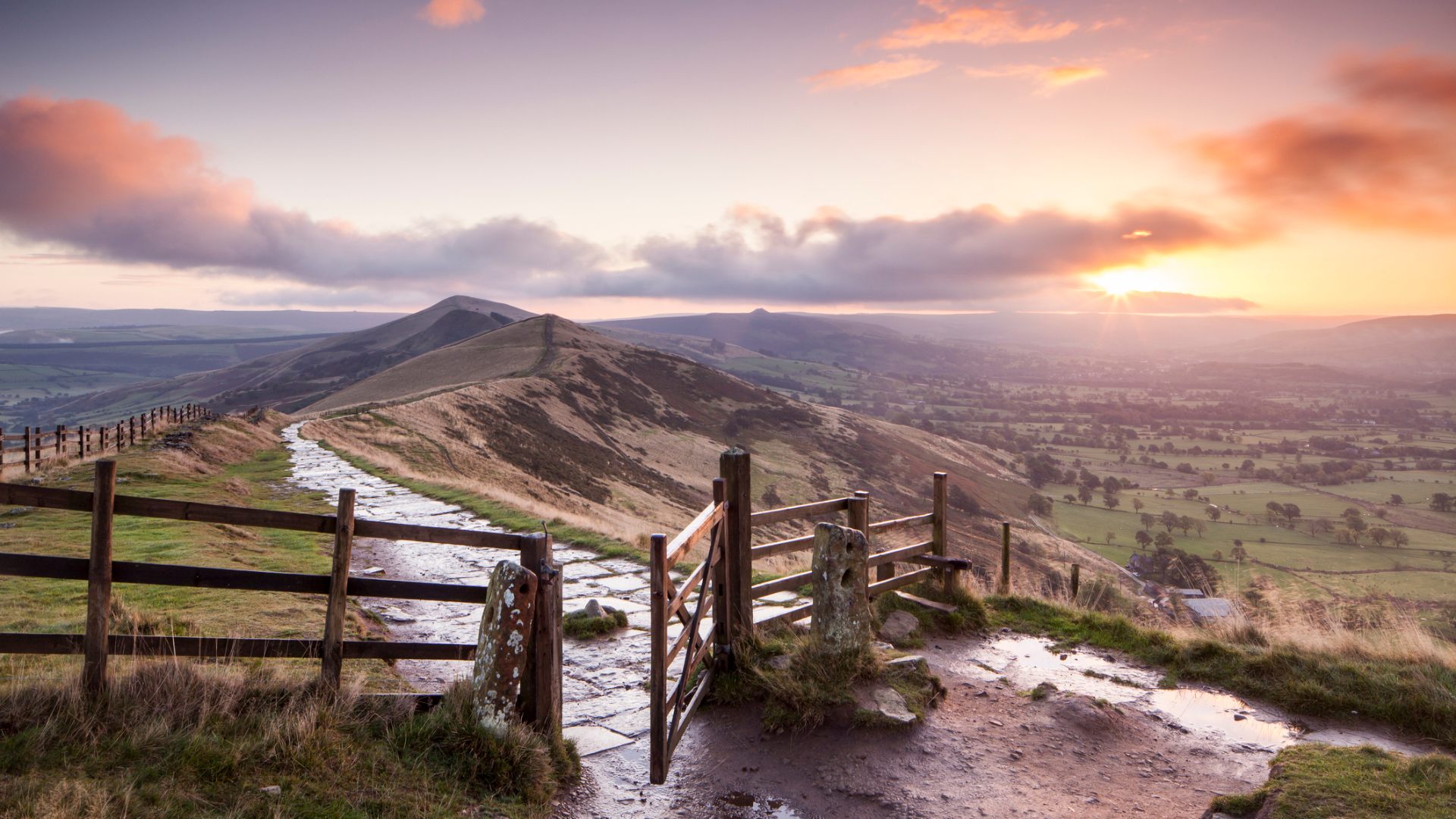
A majestic ridgeline that commands some of the grandest views from one of the highest peaks in the area.
- Distance: 9.8km (6.1 miles)
- Ascent: 310m (1,025ft)
- Start: Castleton Car park
- Finish: Castleton Car park
Taking in one of the classic routes on every Peak bagger’s list, this iconic route traces the fault line between Dark Peak and White Peak, starting from the picturesque village of Castleton and following the well-marked path of Odin Sitch. The majestic ridge commands your attention as you walk through the lower plains, going past Knowledgates Farm and taking the track below Little Mam Tor. Head through the woodlands and track uphill – you are now climbing the paved slopes up to Hollins Cross. The path steepens until you reach the iconic Hollins cross, the site of an old packhorse route that used to span from Castleton to Edale. Pause to enjoy the view, before heading uphill on the wide path along the ridge. The path steadily rises until you push through to the final climb to the summit of Mam Tor. Descend easily with the track (paving slabs), keeping to the footpath signs which cut off the busy road, and head towards Winnat's Head Farm, before picking the path towards Blue John Cavern and over to Treak Cliff Cavern. Descend steeply, taking care with your steps, as the path leads to another cave of interest, Speedwell Cavern. Follow the footpath here, rather than the road, and descend past Peak Cavern. Finish on the quieter side roads, which lead you easily to the car park.
- Explore the Peak District in comfort with the best hiking boots
- Wrap your feet in the best hiking socks you can buy
- Think mid layer with the best fleece jackets available right now
2. The Gritstones Paradise – Stanage to Hathersage
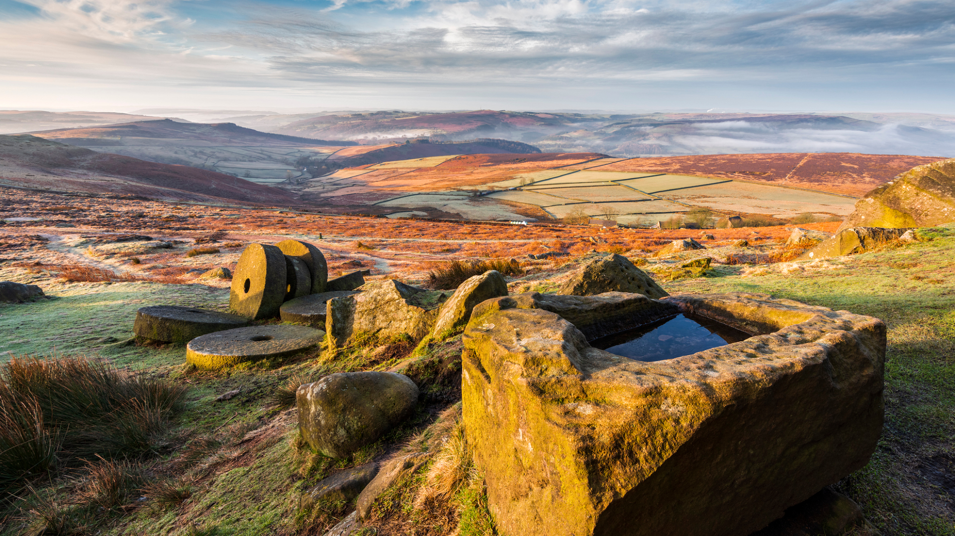
World-class rock climbing destination through a picturesque valley.
All the latest inspiration, tips and guides to help you plan your next Advnture!
- Distance: 8.1km (5 miles)
- Ascent: 270m (900ft)
- Start/finish: Hathersage car park
- Public transport available: Train from Sheffield to Hathersage and also from Manchester, 272 bus from Sheffield
A walk that’s lovely in its own right – which can be shortened if you just fancy walking along the tops of Stanage. But why would you, when you can escape the hustle and bustle of the popular high street and find peace and quiet in the rolling fields, secluded woodland, followed by a striking view that inspired Charlotte Bronte as she penned Jane Eyre? The tops of Stanage Edge – where Keira Knightley’s Elizabeth Bennet muses about Mr Darcy – is stunning, and you can be sure to see climbers scaling the gritstone towers all year round. The walk along the tops of the edge can be made as long or as short as you like, and other points of interest include Robin Hood’s cave, where it’s rumoured Robin Hood once sheltered, safely hidden from the Sheriff of Nottingham. Care is required to access it from the top, with some scrambling down uneven rocky steps. The route also swings past North Lees Hall, its fortress-like top believed to be the inspiration for Thornfield Hall (from the roof of which Mr Rochester’s wife throws herself). Descend through fields and past the historic church, built on a spot that has been a site of religious workshop for over 1,000 years, and see ‘Long John’s grave’ in the cemetery (supposedly the resting place of Robin Hood’s bestie).
3. To Millstones and beyond – via the Derwent Valley Heritage Trail
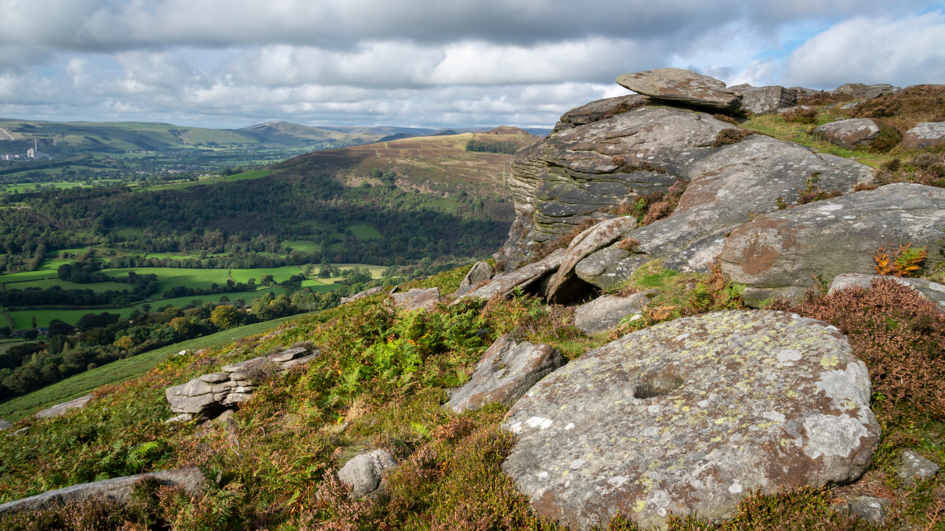
Immerse yourself in the tranquillity of the woodlands and spot the Millstones – remnants of an industrial past.
- Distance: 11km (6.8 miles)
- Ascent: 260m (853ft)
- Start/Finish: Hathersage Youth Hostel
Full of curiosities that will amuse and delight, this is a peaceful walk that follows the meander of the River Derwent, taking in the rocky outcrop of Millstone (just visible above Hathersage). Further afield, you can see Higgar Tor and the widest rocky outcrop, Stanage. Set off by walking through farmers’ fields on easy and well-signposted footpaths on the Derwent heritage trail, before the route starts to climb through the trees of Coppice wood. As you climb out of the trees, it feels like you are in a woodland paradise – millstones with hollowed out middles provide ample seating spots. Follow the footpaths that take you to Grindleford train station (where the route can be cut short if you wish). From here, take the path that climbs steeply through Bolehill quarry, and into the silver birch–lined track that skirts below a quarried rock-face – Lawrencefield. Pass the lines of millstones before you get to the main road crossing (take care here) and then head over to the path that runs below Millstones Edge, the badass older sibling of Lawrencefield. This route skirts away from the climbing, but there are paths that take you closer to the action. Take care with the steep ground and possibility of loose rock – do not disturb any of the old pegs, or move anything here. The route takes you past Owler Tor, a natural outcrop of gritstone, before taking you via a rain gauge and on to the side road to Higgar Tor. Follow a gravel track to Mitchell Field and Scraperlow, where some soaring views over Hathersage Village can be viewed from up high. Descend through steep woodland, which spits you out on to the main road leading back into town.
4. Birchens to Gardoms, Baslow and Chatsworth
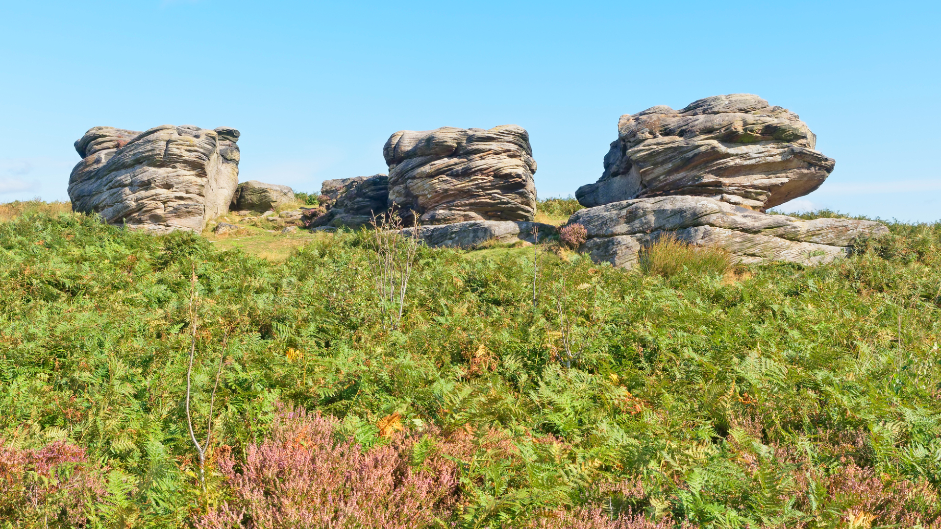
A nautical inspired route that pays homage to Nelson’s victory at Trafalgar, with sculptural rock formations and a romp through Chatsworth Park.
- Distance: 13.3km (8.3 miles)
- Ascent: 230m (775ft)
- Start: Robin Hood Car Park
- End: Robin Hood Car Park/ Baslow Car Park if doing the extension
If your idea of the best walk in the Peak District starts and ends with a pub, then this might be the hike for you. Start at Robin Hood Inn (park in the Eastern Moors–managed car park) and head up the footpath towards Birchen Edge. The path leads you to the edge, which is much smaller in height than its fellow gritstone escarpments, Froggatt Edge and Curbar Edge, but it is still visually interesting, with a trio of nautically named boulders known as ‘The Three Ships’. There is also a monument to Nelson at the top, and rock climbers can usually be seen frequenting this crag. Head towards the trig point at 310m (1,017ft) and continue until you nearly reach the road, before looping back on yourself. Following the edge of the road, walk until you see a well-defined path heading towards the trees. This is the start of Gardom's Edge, a less frequented spot that feels sheltered in the tree line. It has a more wooded feel than Birchen, but it’s the perfect place to escape the crowds. Walk along the path towards the Three Men (triplet piles of stones) and re-join the main footpath that leads back to the main road. This walk can end here, at the car park where you started, but if you’re eager to get a closer look at Chatsworth, cross the main road and pick up the footpath over to Robin Hood and up onto Dobb Stones. Follow a wide track and head through the private woods of Chatsworth – passing the hunting tower – and then loop back through the park. Take the main footpath back, following the River Derwent, to end up in Baslow (where you could park a second car). If you haven’t arranged a car drop, walk back along the road to the Robin Hood Car Park.
5. Langsett Reservoir
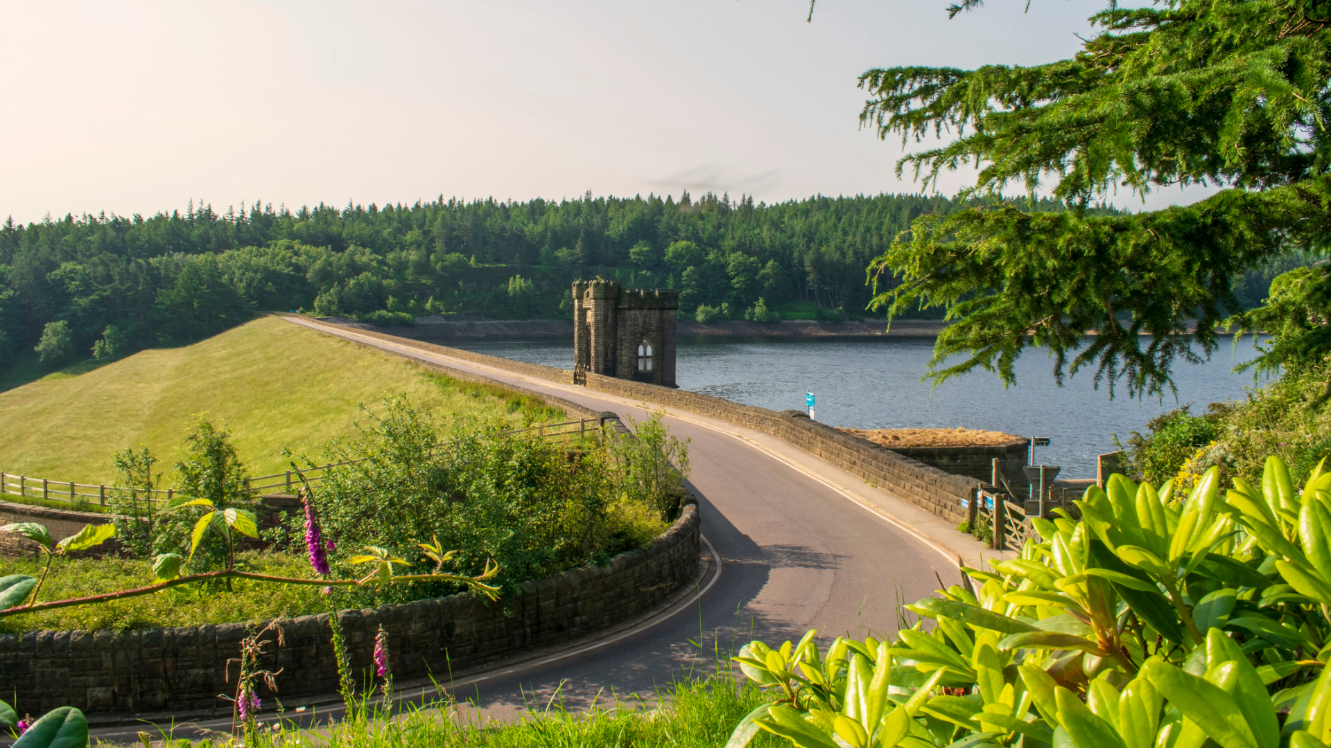
A moorland classic that is on the very tip of the peak district, easily accessible from Manchester and Sheffield.
- Distance: 6.3km (3.9 miles)
- Ascent: 100m (325ft)
- Start/Finish: Langsett car park
A perfect, non-complicated stroll that wanders around Langsett Reservoir (which can make you feel as though you’ve been transported to a lakeside in North America), this route takes you through photogenic woodland, along babbling brooks and across open moorland – all on a decent, relatively flat path. To start, follow the bridleway until you reach the top of the reservoir. Turn left and head down the lane to Brookhouse Bridge over the Little River Don, also known as the Porter. The river is very picturesque, and this is a perfect spot to stop for a brew, a picnic or a paddle in the summertime. Follow the path as it steadily climbs through access land and on to open moorland. At the marker post, take the wide path off to the left rather than either of the bridleways, which lead on to Mickleden and Derwent Edge, popular with mountain bikers. Pass the North America farm and stay on the bridleway to Upper Midthorpe, until you reach the end of the reservoir. Follow the easy path back to the car park.
6. Lose Hill and Win Hill
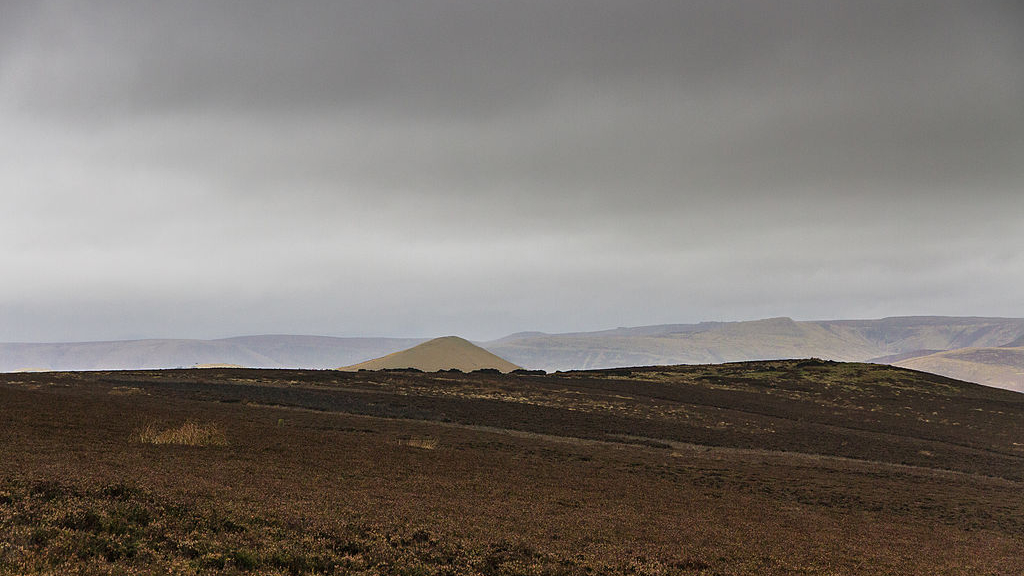
Two moorland classic peaks, visible for miles around – not to be missed.
- Distance: 15.8 km (9.8 miles)
- Ascent: 830m (2,700ft)
- Start: Heatherdene car park
- Finish: Hope (park car here)
This linear route, which explores two pointy peaks in the Peak District, is one for those after a bit of calf burn, with at least 600m of ascent packed into a fairly short distance.
Park at Heatherdene car park – there are also some free parking spots along the edge of Ladybower reservoir. (If you’re a photographer, don’t waste too much time trying to capture the Ladybower Bridge shot, you’ll get a more dramatic perspective up high.) First you need to climb the relentless, thigh-burning gorge that is Parkin Clough (which gets muddy during wet weather), before things start to ease as you emerge out of Win Hill plantation. You approach the peak from the east side, where there are some boulders and an iconic trig point at 462m (1516ft). Descend via the western path (also a popular way of doing Win Hill from Hope) and head down the steep slopes in a southwesterly direction, through open moorland to farmland near the outskirts of Aston. Walk towards Fulwood Stile Farm before crossing the railway for your second peak-bagging experience of the day: Lose Hill. After crossing the Townhead bridge, get those thighs reactivated as you climb towards Lose Hill, thankfully a gentler experience than Win Hill, before hitting the summit at 476m (1,562ft). Admire the views and see if you can spot the sign dedicated to events during the Mass Trespass. Descend the way you came up, but pick up the footpaths through farmland towards Losehill Farm and back towards Hope. The thought of coffee / beer / cafes should help propel you downhill. Finish up with refreshments in iconic Hope village, where smart walkers will have parked a second car.
Note: Those who would like to complete this walk as a circular route should head up Win Hill from Aston, following the small country roads, before hitting the footpaths described on the descent.
7. Lud’s Church and The Roaches
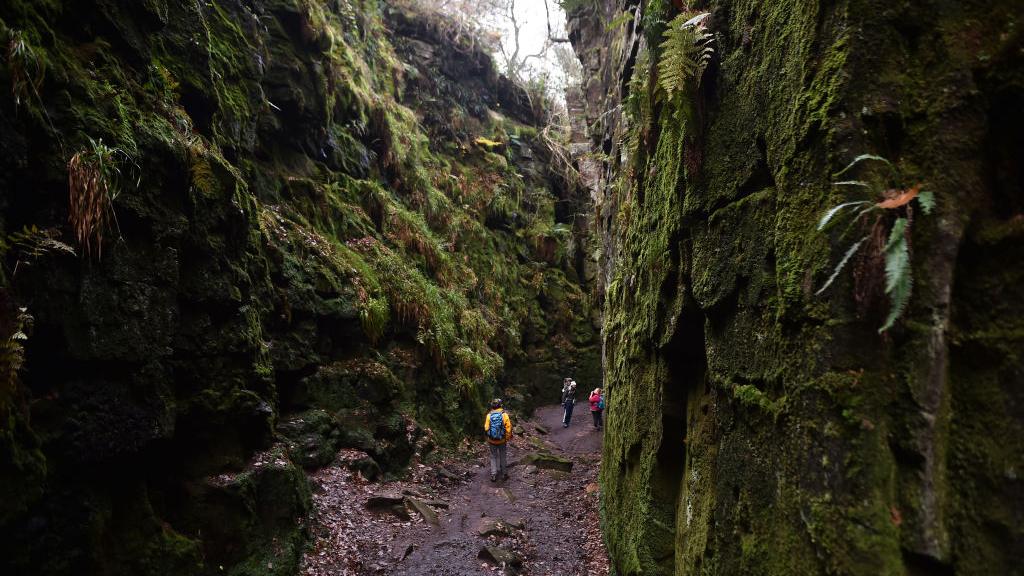
A memorable meander along The Roaches skyline, with open landscapes and beautiful rocky features, plus a visit to a deep moss-covered chasm.
- Distance: 11.8km (7.3 miles)
- Ascent: 270m (900ft)
- Start/Finish: Parking Bays below Hen Cloud (alternative parking near Bearstone rock, but be mindful of local restrictions)
What do mermaids, secret places of worship and tumbling rock faces all have in common? They can all be found in The Roaches, a Peak District delight situated just above Leek and Tittesworth reservoir, discoverable on this route, which takes in Hen Cloud, The Roaches Upper Tier and Skyline. Legend has it that a mermaid inhabits the Doxey pool, a small body of water at the top of The Roaches – the nasty ‘nymph’ waits just under the surface, ready to grab unsuspecting children. Survive that and you can visit Lud’s Church, once a site of clandestine worship – a moody, moss-lined chasm located in the depths of dark woods, where ‘Lollards’ (followers of the early church reformer/ ‘heretic’ John Wycliffe) practised their faith in secret during the 15th century.
As you drive out of Upper Hulme and park in the marked bays just below the rocky outcrops, pause as you consider the magnificent scale of the rock faces, which attract trad climbers and boulderers. Follow the steady track to The Roaches House and keep to the footpath, which takes you through quarried woodland reminiscent of a mini Fontainebleau, and climb steeply up the peaty side of Hen Cloud. As you reach its dizzying heights, look over to the tumble of rocks – one lower and one slightly higher up. The path skirts to the right, as you wander over the back of the Upper Tier of The Roaches. Descend, before climbing back up the hill to the main ridge, keeping your eyes peeled for climbers clinging to the bold slabs and distinctive pinnacles. Pass by Doxey Pool, and walk along the rocky ridge, just above the treeline. The path continues to climb until you reach a trig point – plenty of photo opportunities here – before descending past some of the most rounded and crinkly crisp-like rock formations on your descent down to the road. There is the option to head back to the car park here – but if you want the full hillwalking tick, crossover and follow the ridgeline with the signs to Lud’s church. Note that the ridge gradually descends, with the chasm located well within the woods, so confidence on steep, muddy ground and potentially slippery rocky steps is required for this section. From the path turning, it’s a short walk to the chasm – an eerie sight! The route can be retraced, or, for a more satisfying finish, walk through the woods above Black Brook on a muddy footpath, before you reach the road junction, where you can easily head back on the road to the car park.
8. Exploring the Gorge-ous Chee Dale and Monsal Head
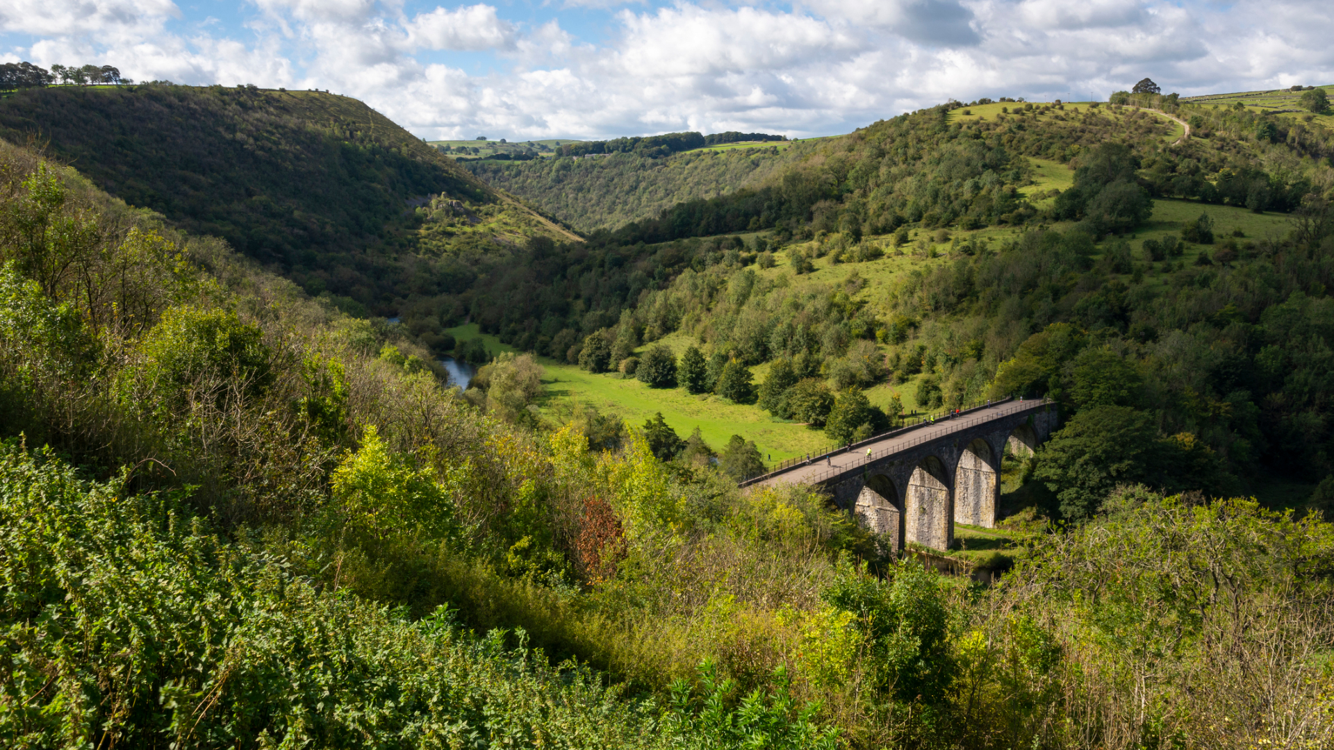
Take a walk on the wild side and explore tunnels and gorges on the White Peak’s most stunning landscape – this is one that’s only for the brave!
- Distance: 8.5km (5.3 miles)
- Ascent: 170m (575ft)
- Start/Finish: Topley Pike Parking Bays
If you enjoy your hikes a little on the wild side – then why not check out one of the best walks in the Peak District that takes in part of the Monsal trail, and part of the spectacular limestone formations in the Wye Dale? But be warned – while much of the first half of this walk is on flat, disused railway gravel track, the real excitement comes on the footpaths that follow the River Wye, as it descends over rocky limestone pavement, tree roots, saturated mud and vegetation. But it’s worth it for the stunning views and the dramatic limestone cliffs, which have been popular as esoteric sport-climbing crag destinations for the fit and strong. There’s also a very exciting set of steppingstones, which are crossable (albeit with care required when the water levels are high). It’s certainly a challenging walk, and not one recommended for those who prefer their feet to remain dry, but if that doesn’t deter you, then you’ll enjoy experiencing some delicately managed woodlands en route. A whole wealth of flora and fauna can be seen in this Wildlife Trust–managed valley, including plants such as mossy saxifrage and bright blooming globeflowers.
If you're new to Komoot use our Advnture voucher code to get an offline region map bundle for free. Head to www.komoot.com/g and enter the code ADVNTURE. Valid until December 31, 2021.
A former brand ambassador for Merrell and current Ordnance Survey #GetOutside Champion, Jessie Leong’s lifelong outdoor odyssey began with Duke of Edinburgh’s Award walks in the Peak District. This segued into long hill hikes in the Yorkshire Dales, multi-day treks in the Lake District, scrambles in North Wales and adventures scaling alpine pinnacles. When not walking, she can be found rock climbing, wild swimming, cycling, photographing, filmmaking, writing and modelling. Jessie’s most recent claim to fame is playing a Miss World contestant in the 2020 feature film Misbehaviour.

