Our 8 best walks on Dartmoor: from wild open moor to the tops of Yes Tor
Our selection of the best walks on Dartmoor, amid some of the most evocative and wildest terrain in the United Kingdom
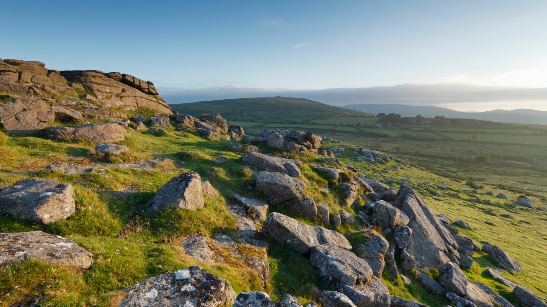
Dartmoor National Park is, in my humble opinion, one of the best places on the planet. But then I’m biased: I’ve been living here most of my life. The bleak moorland, the bog and the rain all have a very special place in my heart. But don’t worry, it’s not all like that. There are plenty of fair weather days in the summer, and a lovely selection of footpaths and woodlands around the fringes of the moor. Although it’s still possible to experience four seasons’ worth of weather in one day. In August.
One of the things that makes Dartmoor so interesting is the sheer amount of local history. And I don’t mean that in a boring, afternoon-in-a-museum kind of way (no offence to museums). On almost all of the walks on Dartmoor you’ll encounter remnants of the people who have come before – whether that’s ruined tin mines and granite quarries, or Neolithic tombs and ancient crosses. If you’re at all interested in the past, you can have a field day here.
Dartmoor is characterised by its tors: granite outcrops that are spread across the moors. They are parts of the granite bedrock, revealed and shaped by erosion. It’s this layer of granite that helps to make Dartmoor so notoriously boggy, a place where not wearing your best hiking boots is sure result in a pair of soggy feet. With its undulating, featureless landscape, it’s also no wonder there are so many stories of people getting lost in the mist – if you're planning a trip here, be sure you know how to read a map and how to use a compass.
We’ve chosen eight of the best walks on Dartmoor to help ensure you enjoy all that this wonderful National Park has to offer. These make use of the many paths on the moor and most also take in some items of local historical interest and a fair few tors besides.
Advnture’s 8 best walks on Dartmoor
1. Yes Tor from Meldon Reservoir
Climb to the top of the moors for the chance of great views north across Devon
- Distance: 10km (6.17 miles)
- Ascent: 350m (820 feet)
- Start/finish: Meldon Reservoir Car Park (paid)

This walk takes in the second-highest tor on Dartmoor, one of the few that tiptoe into mountain territory. Watch out before you go – the route goes into the Okehampton Military Range. Check out the Dartmoor Firing Times so that you don’t get shot (no joke!). Start your walk from the car park at Meldon Reservoir. Turn left and head towards the reservoir, crossing it at the dam, then continue uphill. You’ll pass nearby the old mine workings of Okehampton Wheal Maria, a copper mine that was last worked in the 1920s. After a while, your path peters out, but it’s clear where you’re headed: uphill. Head straight up the hillside, through the clitter (a Dartmoor name for chunks of splintered granite), to the summit of Yes Tor. There are great views out across Devon on a good day.
From the summit, head northeast towards West Mill Tor. You should be able to cross the river at stepping stones. Although slightly smaller than Yes Tor, at 541m, it has an impressive granite stack. From West Mill Tor, continue north until you reach the well-made track at Blackdown. Follow this track all the way back to Meldon.
All the latest inspiration, tips and guides to help you plan your next Advnture!
2. Tor-Bagging loop from Belstone
A full day’s outing taking in some of the best peaks in the north east corner of Dartmoor
- Distance: 14km (8.7 miles)
- Ascent: 340m (1115 feet)
- Start/finish: Belstone
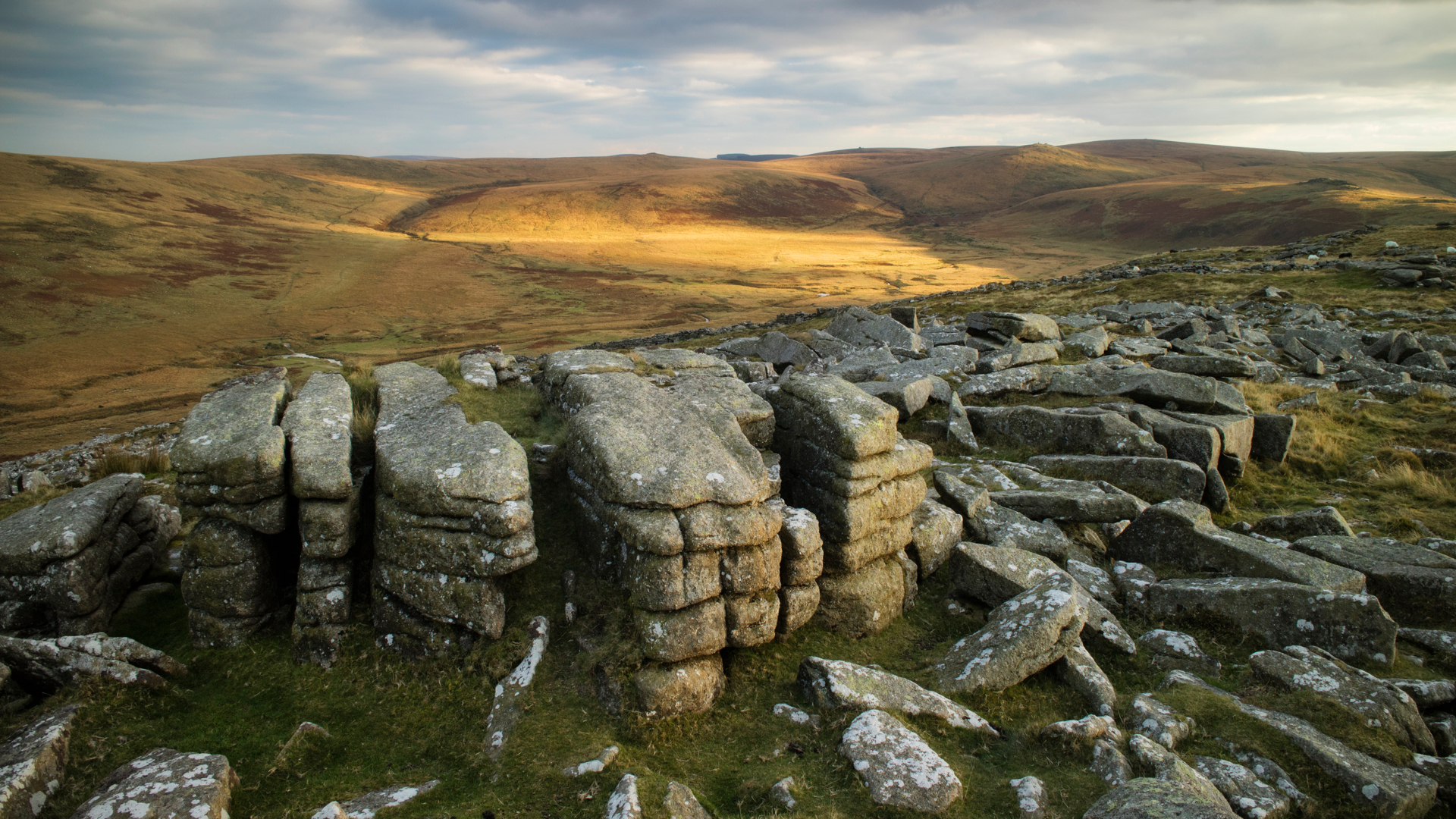
This walk also pops into the Okehampton Military Firing Range. Do check the Dartmoor Firing Times before you leave. Start your walk from Belstone village. There is a large parking area to the north of the village. Head past the old post office and uphill to the moor gate. Follow the well-made track out onto the moors and around the bottom of Belstone Tor. The track passes Winter Tor on your right and soon fades into a grassier track up the side of Oke Tor.
Pass Oke Tor, descending until you rejoin the military track. As it reaches the river, cut off the track and cross the river, making a very steep ascent up the aptly named Steeperton Tor. From here the footpaths are less obvious and you may have to find your own way. Head east to Hound Tor and then curve north to Little Hound Tor, past the stone circle. There is a vague path here. Continue up the massive lump of Cosdon Beacon, then descend to the River Taw – aim for the footbridge west of Ivy Tor. Finally, follow the track and then road back to Belstone.
3. Fingle Bridge and woods from Moretonhampstead
A beautiful woodland and riverside walk, with great views down the Teign Valley – one of the best walks on Dartmoor for an all-day adventure
- Distance: 20.3km (12.6 miles)
- Ascent: 570m (1875 feet)
- Start/finish: Moretonhampstead town centre
Head out of Moretonhampstead, towards Moreton Hospital (you should be able to follow Dartmoor Way signs). Turn down the road uphill of the hospital and follow it to its end, where it turns into footpath. Keep following the purple Dartmoor Way signs over Butterdon Hill and through Cranbrook until you start your descent into Fingle Woods. This beautiful deciduous wood is being restored and protected by the National Trust and the Woodland Trust.
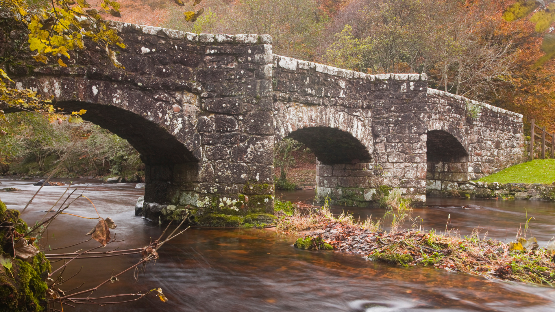
After the long, winding descent on a good track, you will arrive at Fingle Bridge over the River Teign. Cross the bridge and walk up the lane until you reach a footpath on your left, heading almost back on yourself and up into the trees. Take this and follow it for excellent views across the Teign Valley and its outcrops. The path passes the back of Castle Drogo then descends and returns to Fingle Bridge along the riverside. Cross back over Fingle Bridge and continue downstream along the river. At the tip of a big meander, take the permissive path uphill into the forest that climbs over Wooston Castle fort and back downhill to a road. Continue on footpaths, crossing two more roads, until you end up at Shute Lane on the outskirts of Moretonhampstead.
4. A Fernworthy Reservoir loop
Tors, ancient standing stones and a forest-clad reservoir: this is one of the best walks on Dartmoor for those who want to see a bit of everything
- Distance: 10.3km (6.4 miles)
- Ascent: 205m (675 feet)
- Start/finish: Fernworthy Reservoir car park (paid)
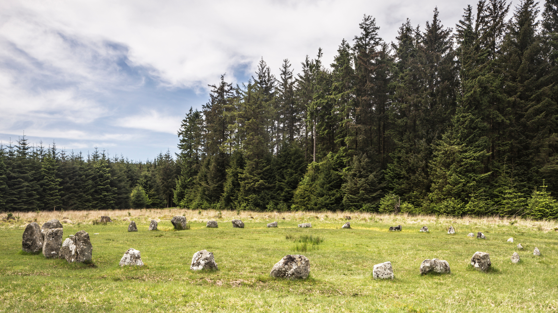
Start from the main Fernworthy Reservoir car park, by the public toilets. Head down to the reservoir and turn right, following footpaths by the shoreline and across a footbridge behind the dam. Sticking to Open Access Land, cross the field system until you reach the top of Thornworthy Tor. You should be able to see you next summits, Middle Tor to the right and Kestor Rock to the left, ahead of you. From Kestor Rock, follow the wide grassy path, past the Shoveldon Longstone (an ancient standing stone) to the boundary wall of Fernworthy Forest. Follow the wall around the corner until you reach a large double gate above a clapper bridge. Go through the gate, into the forest, and follow the stony track back to the car park. You will pass several stone circles, stone rows and a cist in a clearing on your left.
5. Golden Dagger, Challacombe and Grimspound
Explore ruined mines and a medieval village, plus Dartmoor’s most famous prehistoric site – from the inn whose fire never goes out
- Distance: 11.1km (6.9 miles)
- Ascent: 236m (775 feet)
- Start/finish: Warren House Inn
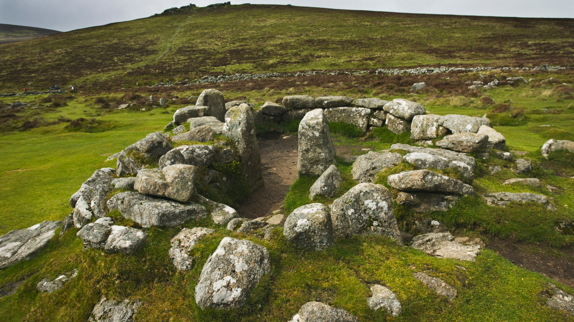
Start from anywhere along the road between the Warren House Inn and Bennett’s Cross. There are several small car parks. The tall granite cross is at least 300 years old and very close to the main road. From Bennett’s Cross, follow the clear Two Moors Way path across the hillside and up to Hookeny Tor. Below the tor, in the valley, is the huge prehistoric settlement ring of Grimspound - one of the highlights of all the walks on Dartmoor featured on our list. After exploring the settlements (see if you can find the tiny cross inscribed in the rock of the south east gateway), continue uphill to Hameldown Tor.
Continue along the wide ridgeline, past crosses and ancient barrows, until you reach the corner of a wall. At the wall corner, turn right and follow the wall downhill to the road. A left turn and short section along the road will take you to a footbridge over the stream and into Challacombe Medieval Village. After exploring the ruins, follow the track roughly west and bending around the hillside back towards the car park. You’ll pass through the remains of Golden Dagger Mine and then Vitifer Mine, both former tin mines. At Vitifer, cross the many-span clapper bridge and follow the path uphill, past the post, until you are back at the Warren House Inn.
6. Ivybridge ridgeline loop
A ridgeline walk encompassing stone rows, ancient granite crosses and a Neolithic tomb – one of the best walks on Dartmoor for history lovers
- Distance: 12.9km (8.0 miles)
- Ascent: 335m (1,100 feet)
- Start/finish: Ivybridge Station
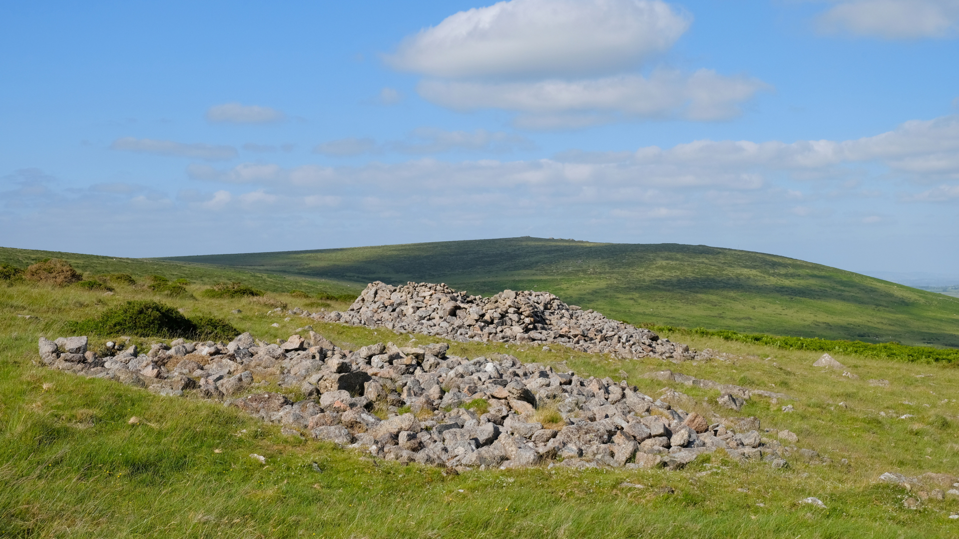
Leave the station car park, heading roughly west on the road beside the railway line. Cross the railway at Stowford Bridge and take the stony track on your right just along the lane. This leads to the Ivybridge moor gate. Turn right and take the path up to the top of Western Beacon, then north along the ridgeline to Butterdon Hill. You’ll pass lots of interesting old boundary stones. Continue along the line of these boundary stones - and a stone row - until you meet the clear track of the Two Moors Way. Follow this track until just past an embankment with a boundary stone on top, to your left.
Step off the path and follow the new line of boundary stones south and downhill. You’ll pass a longstone and Hobajon’s Cross. At the bottom of the hill pick up a grassy path due east that will take you to Spurrell’s Cross – a lopsided granite cross that dates to the 15th century. Next, head south, contouring the hills to your right and keeping the river to your left. Inside the enclosure is Cuckoo Ball burial chamber, a neolithic tomb. Finally, climb the hill back to the summit of Western Beacon and return to Ivybridge via your outward route.
7. Ancient ways from Shipley Bridge
Follow the course of dismantled tramways, ancient footpaths and cross one of Dartmoor’s oldest clapper bridges
- Distance: 11.6km (7.2 miles)
- Ascent: 260m (850 feet)
- Start/finish: Shipley Bridge

From Shipley Bridge, head north along the tarmac road a little way then take the path to your left by the Hunter’s Stone. The path bands back on itself before curving round the hillside and heading uphill onto Brent Moor. This path is a dismantled tramway, but is not always clear on the ground and can be very boggy. Follow it as best you can, passing a boundary stone and Petre’s Cross until you reach the crossways, just before Redlake tramway. Turn right and follow a grassy path steeply downhill to the River Avon. There is a very grand clapper bridge to help you cross in all but the wettest weather. You are now on a section of the Abbot’s Way – an ancient pathway used by monks travelling between Buckfastleigh and Tavistock Abbeys.
Cross the clapper and turn right, following the river until you reach Avon Dam Reservoir. Continue alongside the reservoir and then the river again, beyond the dam. Your path will gradually improve from grass to track to tarmac. Keep following it until you arrive back at Shipley Bridge.
8. Tors, leats and pools from Norsworthy Bridge
A mixture of small tors, modern forest and historic waterways in the Burrator area make this one of the most varied walks on Dartmoor
- Distance: 7.7km (4.8 miles)
- Ascent: 198m (650 feet)
- Start/finish: Norsworthy Bridge
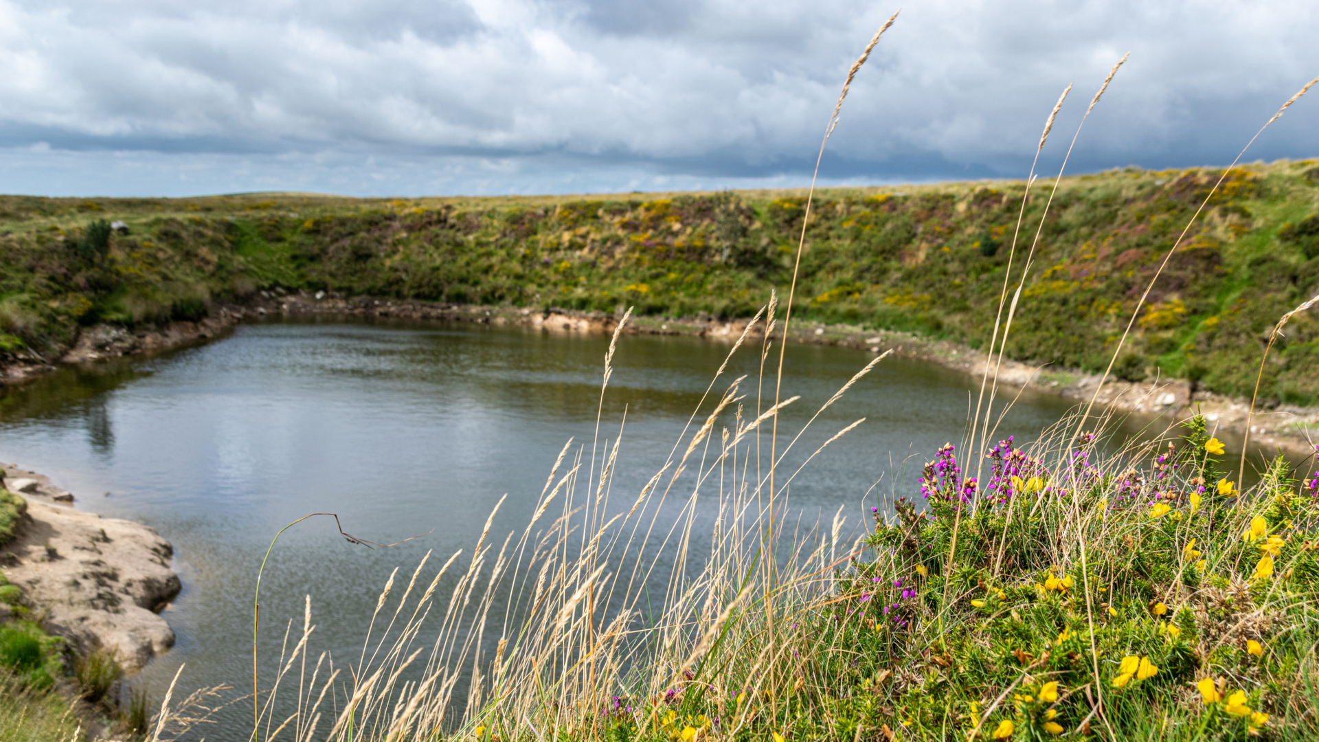
From Norsworthy Bridge car park, head north along the road, crossing both bridges and then turning immediately right along the river. There is a footpath sign and a gate that takes you uphill into the trees. Follow this path until you reach a leat, then turn right and follow the wide forest track alongside. This is the Devonport Leat, built in 1790s to supply fresh water to Plymouth. Out of the forest, continue along the leat, crossing back and forth on the little clapper bridges as needed.
Where the leat takes a sharp right turn, beside the aqueduct, take an uphill path from the corner to reach Black Tor. Next, take a small path down to the river and across on stepping stones, then curving up and left to Hart Tor. There is a grassy path from Hart Tor to Cramber Tor, although it is most easily seen in the summer. From Cramber head directly south, again on a path if you can find it, back to the Devonport Leat. Cross the leat at a bridge and pass Crazywell Pool: said by local legend to be bottomless. Keep heading roughly south until you reach a clear, stony track. Turn right and follow it back into Burrator.
An adventure writer based on Dartmoor, England, Emily is an active member of Mountain Rescue and a summer Mountain Leader, but loves all things adventure – before her third birthday she had lived on three continents. Founder of Intrepid magazine, she works to help break stereotypes about women in the outdoors. Her expeditions have included walking all Dartmoor’s 119 tors in a single two-week outing, cycling to Switzerland and back, and riding the Rhine from source to sea.
