The best day hikes in Vermont for fall colors
The best day hikes in Vermont for fall colors vary from gentle to challenging trails ideal for leaf peepers seeking those gorgeous earthy hues
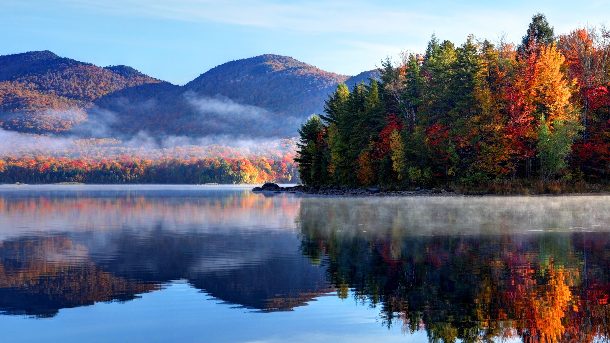
Planning your excursions for 2026? One of America's most gorgeous places to hike is Vermont and fall is the perfect time to appreciate New England's unique natural beauty. You may have one eye on fall already and, if this is you, we've got seven unmissable Vermont hikes you might want to check out.
Though the cold season in Vermont can arrive a little too early and may last a little too long for some people, there’s no doubt that the colorful lead up to winter is the most splendid time of the year for hiking in the green mountain state. Our guide to the best day hikes in Vermont for fall colors helps you get the most out of the famous "leaf peeping" season with trails ranging from short and sweet to challenging that deliver stunning views as the Green Mountains transform into an autumn paradise.
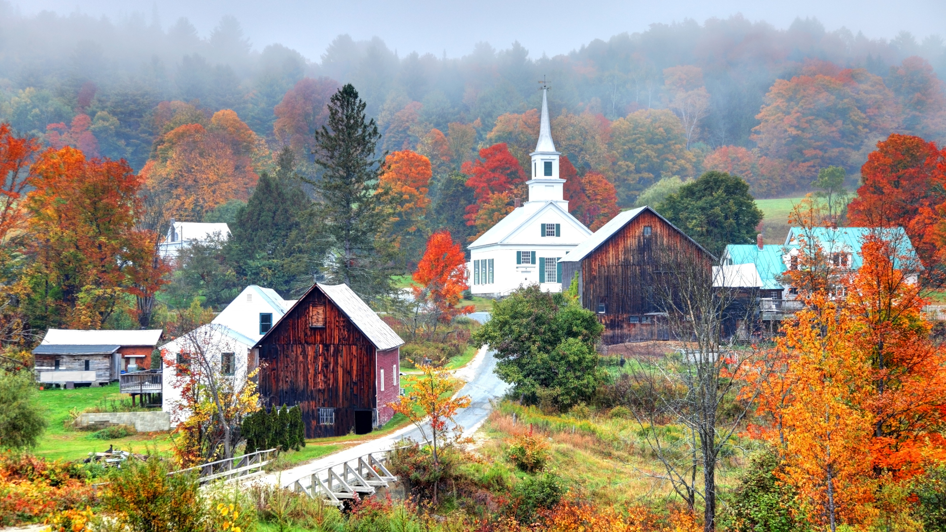
New England is home to a large percentage of trees such as sugar maple trees that produce Anthocyanin, a pigment which results in brilliant reds and purples that draw hikers and tourists by the droves. This combined with its stunning Green Mountain Range and quaint, rural towns makes Vermont the crown jewel of northeastern states when it comes to hikes offering views of splendid fall colors.
Ready to feast your eyes upon the fall foliage on crisp days as you feel the leaves crunch underfoot? Bundle up in your cold weather hiking gear and have your hiking boots at the ready for the best day hikes in Vermont for fall colors.
Meet our expert

Originally from Scotland, much of Julia's hiking life has been spent exploring America's national parks and backcountry trails. She moved to the States for university, quickly falling in love with the country's natural beauty.
Today's best deals
1: Stowe Pinnacle
Distance: 3.7 miles
Difficulty: Moderate
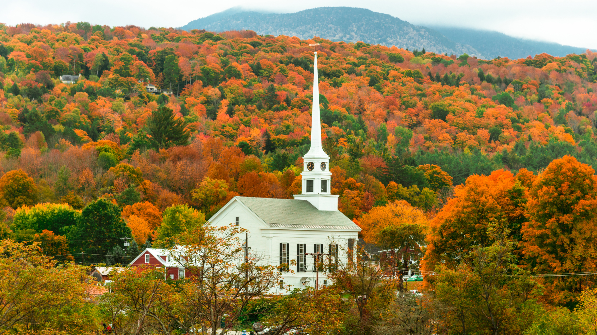
One of the most popular hikes in the state, the Stowe Pinnacle trail takes you through thick forest to 360-degree views of the surrounding mountains and offers fantastic colors in the fall.
The Upper Hollow Road trailhead is just over two miles from Stowe. From town, take School Street for 0.3 miles. Bear right at the fork onto Stowe Hollow Road, and continue onto Upper Hollow Road. Find parking for the Stowe Pinnacle Trail about half a mile from the beginning of Upper Hollow Road.
All the latest inspiration, tips and guides to help you plan your next Advnture!
The trail begins with a moderate climb through dense forest, gradually becoming steeper with a few spots where scrambling is required. Follow the blue blazes for about the first mile, then follow signs for the Stowe Pinnacle trail. A steep set of stairs leads you out of the trees to the rocky summit where you will be treated to views of Mount Mansfield and Camel’s Hump, as well as the Sterling and Worcester Ranges. Make sure you descend following the same route you came up so as not to end up at the wrong trailhead.
2. Stratton Mountain Fire Tower via the Long Trail
Distance: 7.5 miles
Difficulty: Moderate
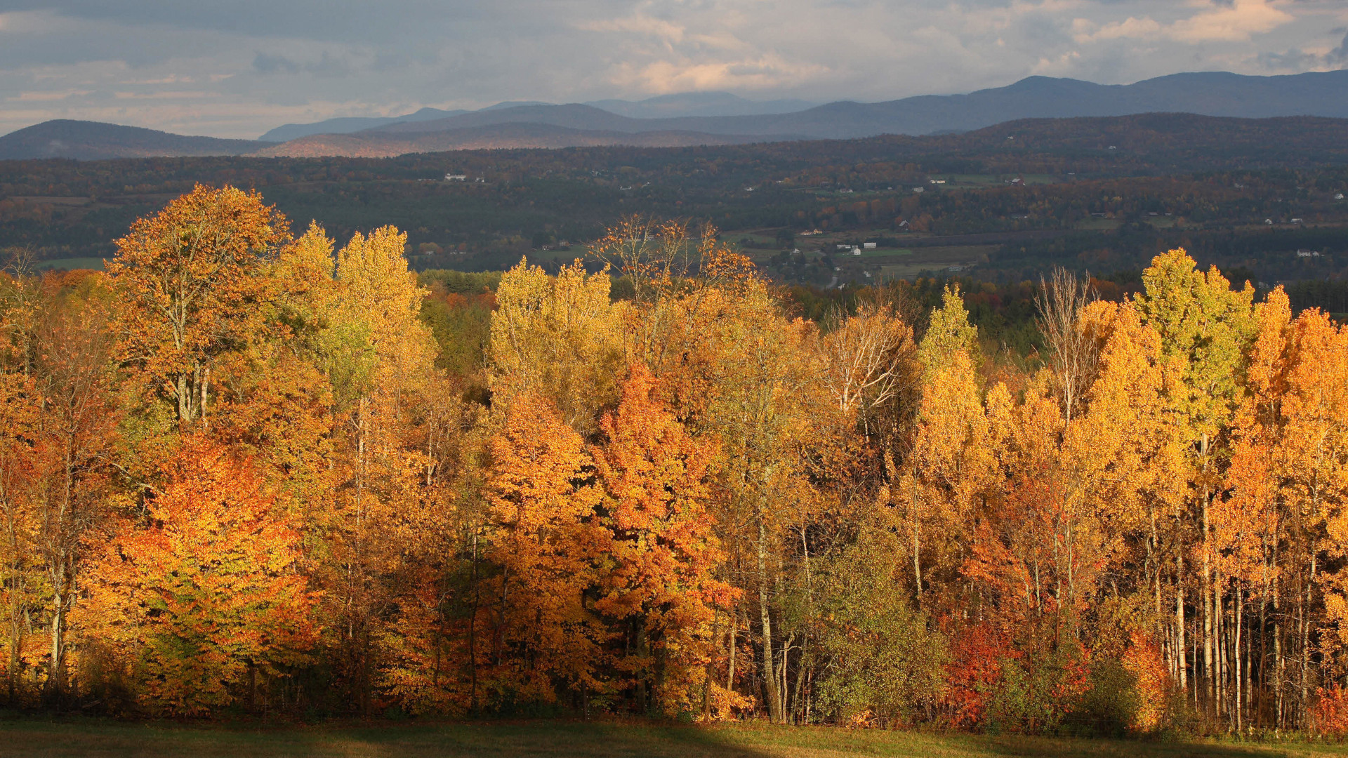
The Stratton Mountain Fire Tower sits atop the highest peak in southern Vermont, in Stratton Ski Resort, and marks the spot where Benton MacKaye conceived of the idea of the Appalachian Trail.
There are various ways to do this hike, for instance you can ride the gondola up to the summit and climb up the fire tower from there for spectacular foliage views without much effort, but our pick is to hike up Stratton Mountain from the base, then head up the fire tower at the top. This section of the Appalachian/Long Trail weaves through dense forest and offers plenty of stunning views on the way to the summit.
To find the parking lot, from Route 7 take the Arlington exit and head west on Route 313. Take the first right onto South Road and follow it to the end. Turn right onto Kansas Road and after the one-lane bridge turn right and travel east on the Kelley Stand Road for about 9.6 miles.
The trail begins with a gradual climb through the forest, becoming steeper after it crosses Forest Road 341. A flatter ridgeline provides a breather and views of Somerset Reservoir before you switch back your way up to the summit. Here you can climb the 70ft fire tower that was built in 1934 for panoramic views of mountains in four states – Vermont, New York, New Hampshire and Massachusetts – which will all be resplendent with red and yellow leaves in the fall.
3. Sunset Ridge Trail on Mount Mansfield
Distance: 5.9 miles
Difficulty: Challenging
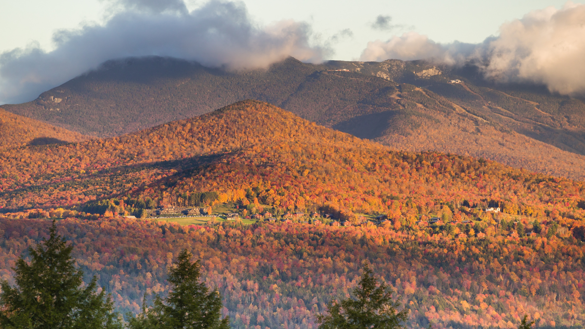
At 4,395ft tall, Mount Mansfield is Vermont’s highest peak and sits in the beautiful Green Mountain Range. Mount Mansfield is so-named as it resembles a human face, from Adam’s Apple to forehead. There are numerous routes up Mount Mansfield, which draws more hikers than any other mountain in the state, and the Sunset Ridge Trail is a classic in the fall as it offers the best views.
Find the trailhead at the campground off Mountain Road in Underhill State Park. The Sunset Ridge Trail is mostly above treeline and therefore quite exposed, but also offers the best views of the surrounding area. To begin, hike along the Civilian Conservation Corps Road, for just under a mile, then follow the signs for the Sunset Trail and head up a slow climb through a wooded area before breaking out above treeline. Near the top, the trail intersects the Long Trail then takes you through alpine tundra to the summit. The last half-mile involves crevices and boulders to the summit, which is the chin part of the imagined face. Enjoy a kaleidoscope of color in all directions. Follow the Long Trail back down to the CCC road to make a stunning loop.
4. Hunger Mountain via the Waterbury Trail
Distance: 4.5 miles
Difficulty: Challenging
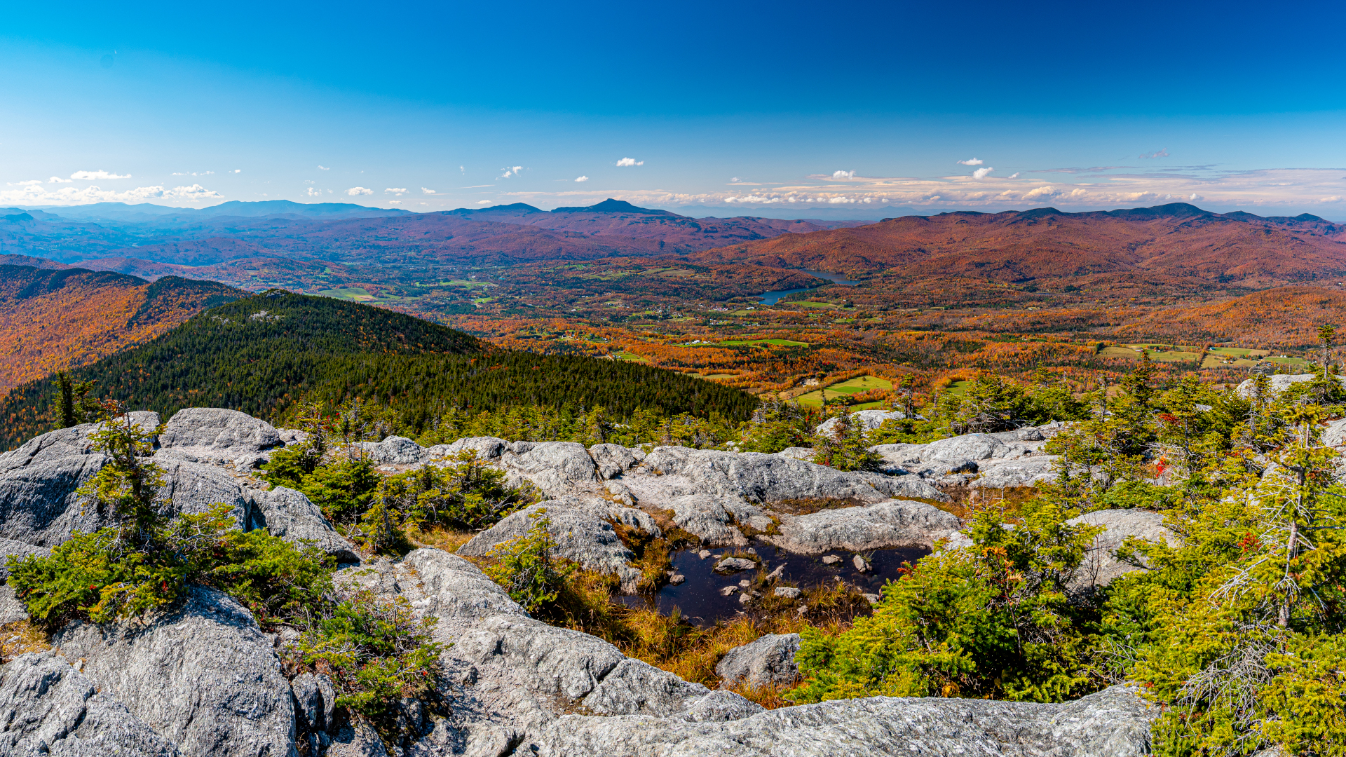
Mount Mansefield might lay claim to the title of tallest mountain in the state, but Hunger Mountain in the Worcester Range makes for a fun climb with some spectacular fall foliage views.
The trailhead is about seven miles from Waterbury. From town, head northeast on Stowe Street and turn right onto Route 100. Turn right onto Howard Street, left on Maple street and right onto Loomis Hill Road. Continue on Sweet Road until you reach the trailhead.
Blue blazes mark the obvious trail, which quickly becomes steep and stays this way. There is a river crossing about half way, and the last stretch involves some scrambling, but the broad, flat summit of Hunger Mountain delivers breathtaking views of the Green and White Mountains and Groton State Forest, all ablaze with the hues of fall.
5. Sterling Pond
Distance: 2.3 miles
Difficulty: Moderate
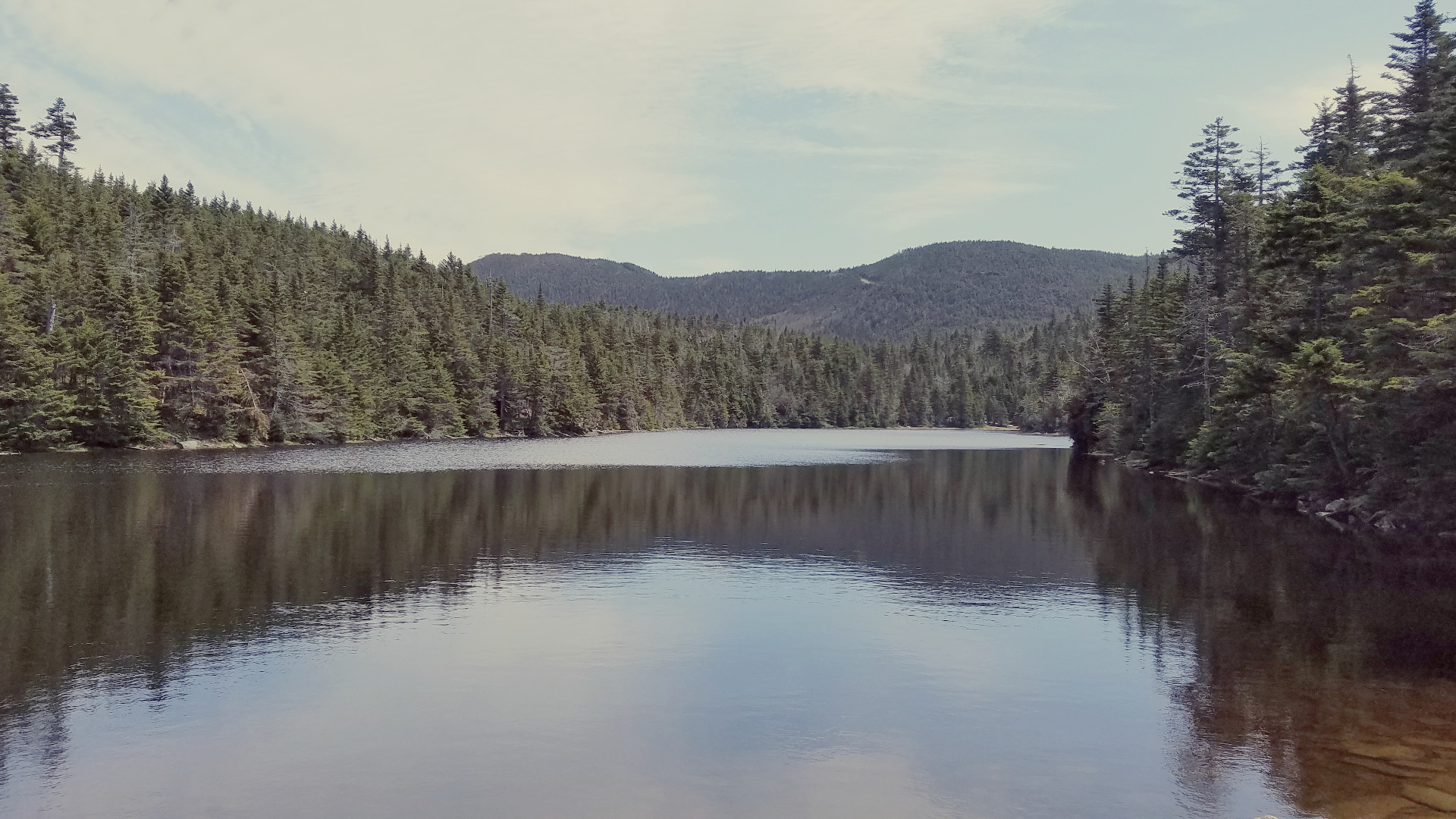
Sterling Pond is a mountain top pond in Smuggler’s Notch State Park that can be reached by a scenic, accessible trail and offers great viewpoints for enjoying fall colors.
From Stowe, take Route 108 north almost 10 miles to the top of Smugglers’ Notch and park on the left. The trailhead is across the road from the parking area and is well-marked.
The hike is short, but steep and you’ll find lots of rock stairs along the way as you hike through thick forest. At the intersection with the Long Trail follow the signs to the left to find the beautiful alpine pond, surrounded by trees and mountains that turn golden in the autumn. You can follow several trails from here for other lookout points for maximum leaf peeping.
6. Mount Philo Western Loop
Distance: 1.9 miles
Difficulty: Moderate
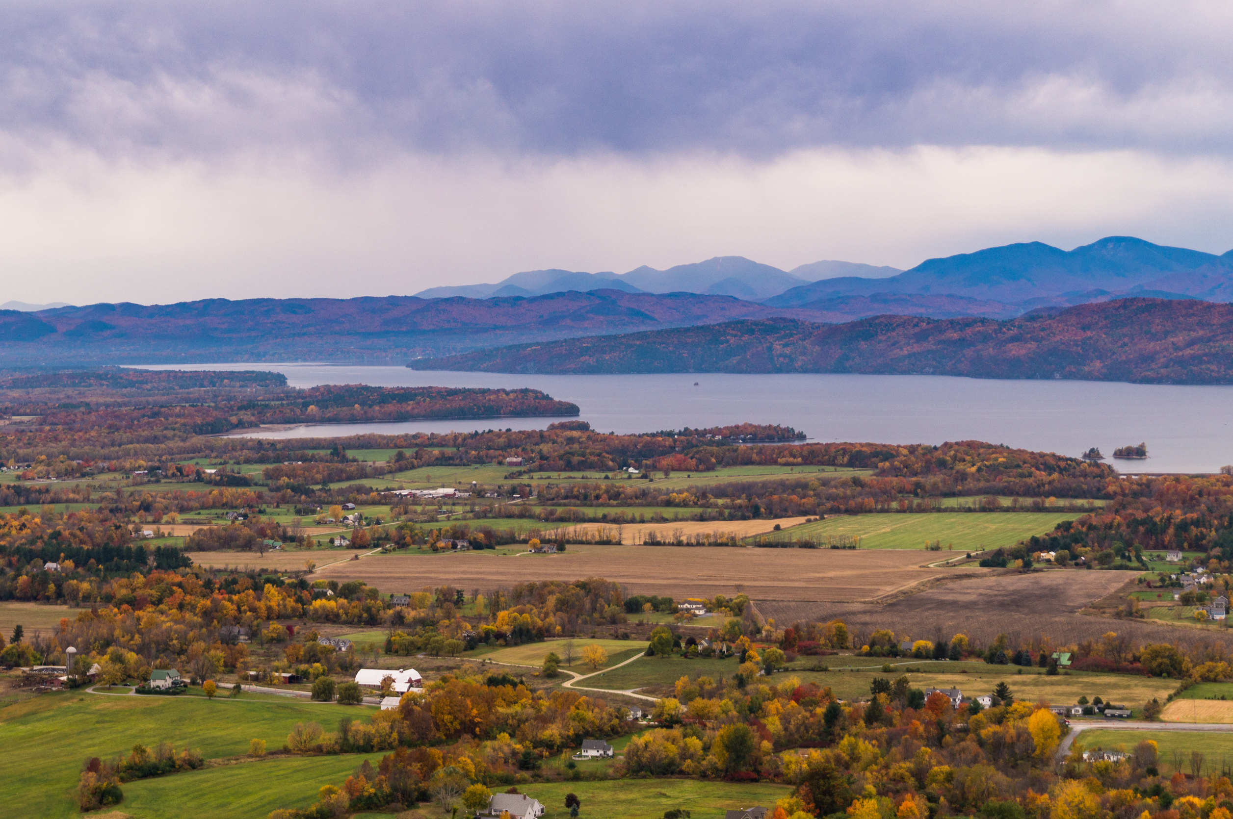
This short, family-friendly hike in Vermont’s oldest state park rewards you with stunning views of the fall colors surrounding lovely Lake Champlain and the Adirondack Mountains beyond it.
From Burlington, take Spear Street south then turn right on Irish Spring Hill Road. Turn left onto Mount Philo Road and park at the Mount Philo State Park parking lot on your left.
The trail is mostly gentle and well-maintained, with hand-made wooden chairs along the way where you can rest and enjoy the sights and sounds of the forest. A set of wooden steps takes you to the top, where the valley, lake and mountain views are most beautiful in the fall. Bring your binoculars!
7. Mount Pisgah via the South Trail

Distance: 4.1 miles
Difficulty: Moderate
The Mount Pisgah Trail in Willoughby State Forest near the town of Orleans treats you to a splendid view of the fall foliage on the steep hillside above a lake.
From St Johnsbury, travel north on I-91. Take exit 23 and turn right onto US 5 North. Turn right onto 5A North and after almost six miles, the parking lot will be on your right.
This trail climbs up the southern side of Mount Pisgah and offers a gradual ascent. About a mile up, enjoy birds-eye views for Lake Willoughby from Pulpit Rock. Just before the summit is another fantastic viewpoint that stands atop the cliffs and has excellent views of the lake.
Julia Clarke is a staff writer for Advnture.com and the author of the book Restorative Yoga for Beginners. She loves to explore mountains on foot, bike, skis and belay and then recover on the the yoga mat. Julia graduated with a degree in journalism in 2004 and spent eight years working as a radio presenter in Kansas City, Vermont, Boston and New York City before discovering the joys of the Rocky Mountains. She then detoured west to Colorado and enjoyed 11 years teaching yoga in Vail before returning to her hometown of Glasgow, Scotland in 2020 to focus on family and writing.

