How you can help to rediscover Britain’s missing footpaths
Nearly 50,000 miles of footpaths missing from modern maps of England and Wales unearthed in an amazing community campaign

All the latest inspiration, tips and guides to help you plan your next Advnture!
You are now subscribed
Your newsletter sign-up was successful
A campaign initiated by the Ramblers Association in February to try and locate many miles of footpaths missing from modern maps in England and Wales has far exceeded its initial ambition, by locating over 49,000 paths that have gone walkabout from the cartography that walkers, hikers and runners use when out enjoying the British countryside.
The idea was conceived when UK government announced a cut-off date of 1 January 2026 for all historic paths to be registered for inclusion on official maps.
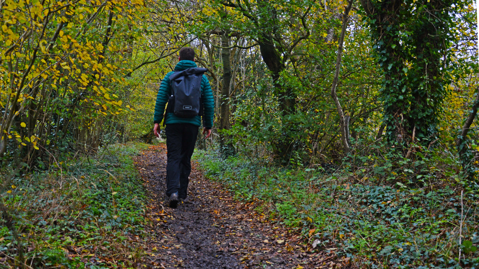
The campaign, called Don’t Lose Your Way, set out to identify paths that have been used by people for centuries - for means of foot travel between villages and towns, or simply as recreational routes to woodlands, beaches and view points - but which had, for one reason or another, fallen from view and were not represented on maps.
- Make sure you're wearing the best hiking boots when you go out walking
- Find those missing footpaths by learning how to read a map
- Look after your feet on walks by learning how to prevent blisters when hiking
The Ramblers called on all walkers and countryside users to get involved, and they created an online tool for people to use in order to record missing paths. The campaign was also championed by several outdoor celebrities, including the well-know micro-adventurer and expeditionist Alastair Humphreys and TV presenter, BMC ambassador and adventurous archeologist (and Advnture contributor) Mary-Ann Ochota.
The public response was extraordinary, and the results staggering. Thousands of eagle-eyed volunteers began using the tool to scour 154,000 one-kilometre by one-kilometre squares covering England and Wales, and they discovered almost five times as many miles of missing path than the initial projection, which was a modest 10,000 miles.
The widespread enthusiasm for the aims of the project was perhaps in part elevated by lockdown-induced cabin fever during 2020 and a new-found appreciation of how precious a resource the outdoors is, and how important access to it will be in the future. Recent government moves to change trespass from a civil matter to a criminal offence – a move with potentially profound consequences for outdoor enthusiasts – may also have galvanised people to get involved.
“It’s been amazing not only how many people have come forward to donate to the project and offer to volunteer but also how engaged people are with the need to save these paths before they are lost forever,” Jack Cornish, programme manager for the Don’t Lose Your Way campaign, told us this week.
All the latest inspiration, tips and guides to help you plan your next Advnture!
“I am somewhat surprised by just how many thousands of miles of lost paths we found but at the same time we always knew that there are unrecorded rights of way in every community across England and Wales. The vast majority of these paths were created by how people have interacted with their landscape over generations. People needed to go to work, to market, to church or to the pub – and they would have done that on foot or on horse.”

Regardless of whether it now crosses privately owned property, a route can be claimed as a right of way for walkers in England, Wales and Northern Ireland if the land was used as such historically, and there is documentation to prove it, or if the land was accessed by the public for at least 20 years and nobody has asked them to stop in an official capacity. (The laws in Scotland are different, and much more permissive in favour of outdoor users, and are based on the right to roam principles found in Scandinavia and elsewhere in Europe.)
So, how does a footpath disappear from view - are they typically the paths less trodden, or do private landowners somehow influence this erasing of rights of way? “Most of the paths we have identified would have been probably lost when local councils first had the responsibility to record rights of way in the 1950s and ’60s,” Jack said. “At that time paths were simply missed off, many by mistake. Perhaps a path wasn’t walked at that time so it was forgotten. We often find paths which stop at the parish boundary – because one parish remembered to include the path but the other forgot!”
Now they have been unearthed, these historical rights of way must be recorded and added to official maps, including those produced by Ordnance Survey – a government-run organisation that produces what is widely regarded as the best and most comprehensive cartography on the planet.
“The next step is that we need the support of volunteers to delve into the historical records to find the evidence to prove that these paths were used by the public. In order to support volunteers with this we are currently fundraising for Don’t Lose Your Way.”
The crowdfunding campaign to ensure the missing paths are added to maps and remain open for us all to explore is now live, and has been kickstarted by Cotswold Outdoor.

Author of Caving, Canyoning, Coasteering…, a recently released book about all kinds of outdoor adventures around Britain, Pat has spent 20 years pursuing stories involving boots, bikes, boats, beers and bruises. En route he’s canoed Canada’s Yukon River, climbed Mont Blanc and Kilimanjaro, skied and mountain biked through the Norwegian Alps, run an ultra across the roof of Mauritius, and set short-lived records for trail-running Australia’s highest peaks and New Zealand’s Great Walks. He’s authored walking guides to Devon and Dorset, and once wrote a whole book about Toilets for Lonely Planet. Follow Pat’s escapades on Strava here and Instagram here.
