What is trig bagging – and why is it popular with walkers and runners?
Discover how a historic mapping scheme now provides a focus for a modern-day British outdoor pursuit
All the latest inspiration, tips and guides to help you plan your next Advnture!
You are now subscribed
Your newsletter sign-up was successful
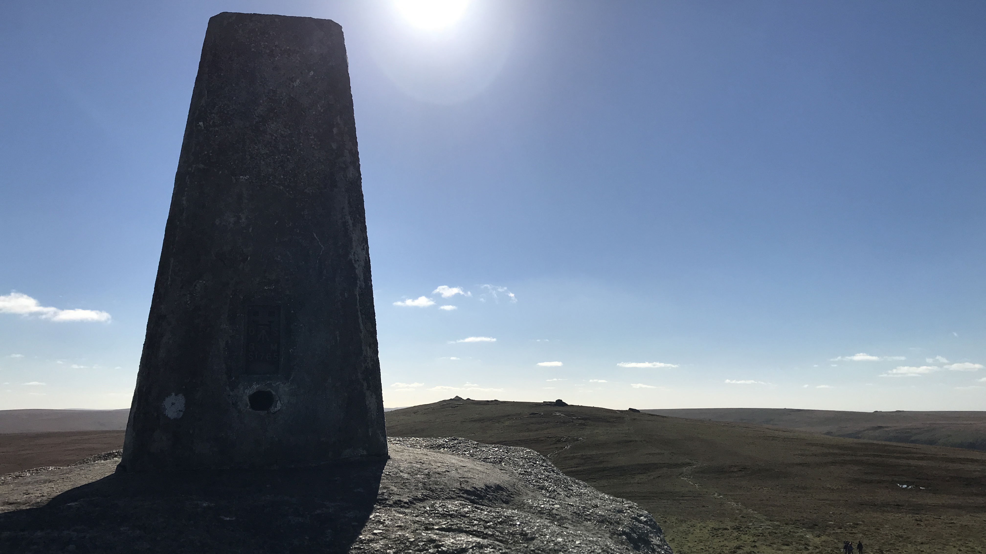
The triangulation pillar, or "trig" is a quintessential British landmark. You'll spot these markers all over the UK's countryside, often adorning the high points. This means that the arrival at a trig is usually a momentous moment, so it's no wonder they're so celebrated.
First installed to help map the country as part of the retriangulation of Great Britain by the Ordnance Survey in the first half of the 20th century, today they're pretty much obsolete thanks to digital mapping technology. However, in the hearts of many British outdoor enthusiasts, trigs provide the basis for a slightly esoteric activity called trig bagging.
What is trig bagging?
Trig bagging is the British pursuit of hiking, running or cycling to a triangulation pillar and ticking it off on a list. It's similar in many ways to peak bagging, though rather than the highest point of a mountain or hill, its the pillar that the bagger is seeking.
There are over 6,000 trig pillars left in the UK. While many stand proud on high summits, they are found right across the countryside, from headlands and islands to the lowest one, which stands a tiny bit below sea level in the county of Cambridgeshire.
Meet the experts

Fiona is no stranger to bagging, having walked all 282 of Scotland's Munros, prominent mountain peaks over 3,000 feet in height. An avid hiker and runner, trig pillars have been a mainstay of her days in the backcountry for many years.

Alex is a somewhat casual peak bagger and there are many things he wished he'd known before he started peak bagging. He's no stranger to the act of enjoying a coffee, back propped against at trig, marvelling at the views from a remote summit.
Today's best deals
History of trig pillars
- The first trig pillar was installed on April 18th, 1936 by the Ordnance Survey
- This launched the Retriangulation of Great Britain
- 6,500 pillars were used to redraw the map of Great Britain
It was in April 18, 1936, that the first trig pillar was installed by mapping agency Ordnance Survey (OS). It launched what was known as the “Retriangulation of Great Britain”.
Such was the extent and detail of the mapping that some 6,500 trig pillars were used to measure the shape of the land and to redraw the map of Britain. Today, the land is measured and mapped by modern GPS.
Trig pillars are still a common feature of British scenery – and offer a rewarding focus for trig baggers.
All the latest inspiration, tips and guides to help you plan your next Advnture!
What is triangulation?
- Triangulation uses known points to accurately map a landscape
- It took Ordnance Survey 26 years to map Britain using their trig pillars
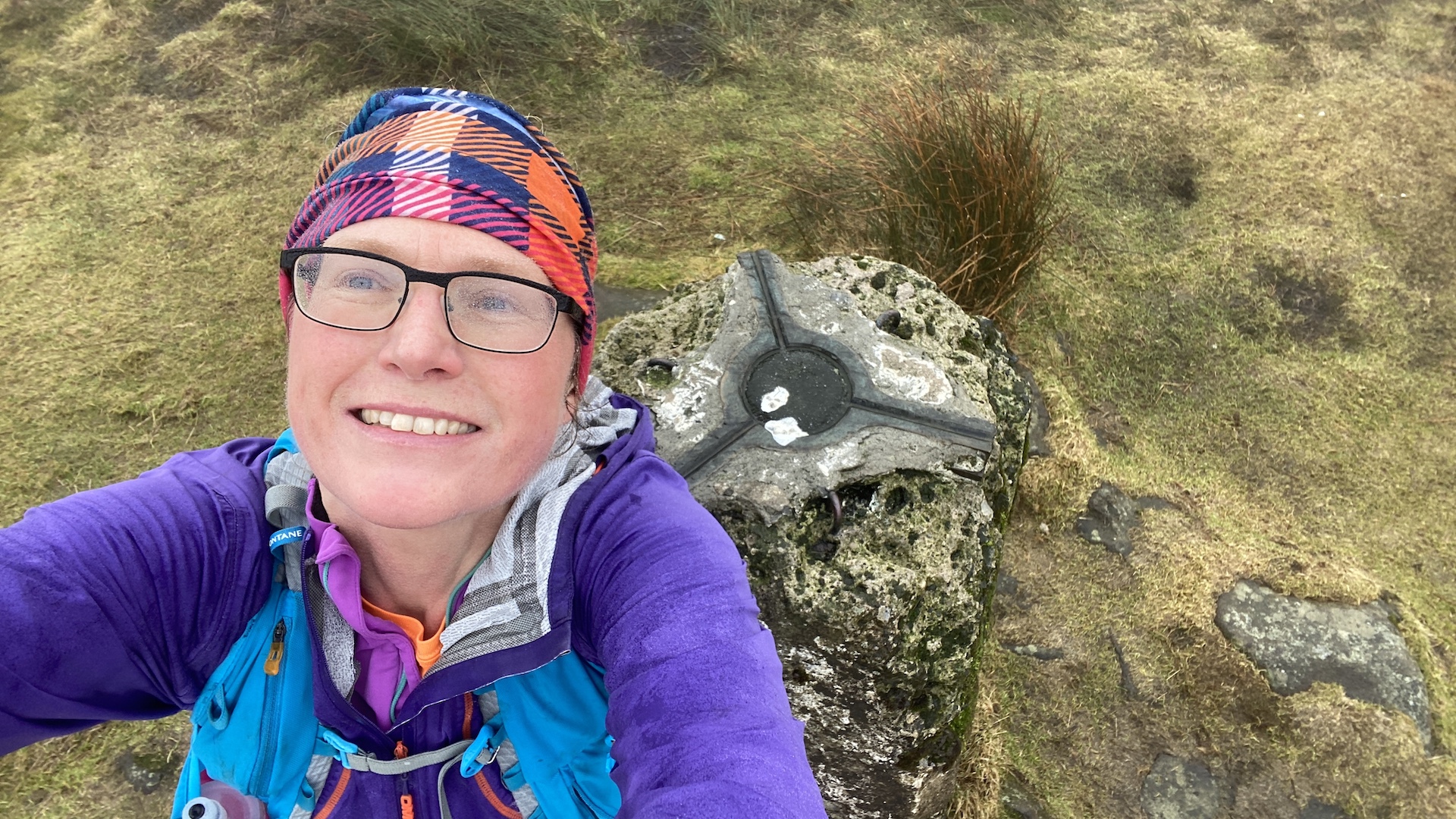
The triangulation system is a mathematical process that makes accurate map-making possible. An OS spokesperson explained: “Triangulation works by determining the location of a point by measuring angles to it from known points at either end of a fixed baseline.
“For OS maps, the known points were the thousands of trig pillars erected across the country.
“A theodolite was secured to the top mounting plate of a pillar so that angles could then be measured from the pillar to other surrounding points.”
It took many angle measurements to gain the most accurate primary points in the retriangulation and observations often took several hours at each pillar. In total, the retriangulation task took 26 years, including break for World War II.
The OS maps – and map apps – that many hikers and runners use are based on this Retriangulation process, although today most new measurements are done by GPS.
How do you go trig bagging?
- There are over 6,000 remaining trig pillars in Britain
- They're marked on the map by a small blue triangle
- You can choose your own trig bagging challenge, such as bagging all your local ones
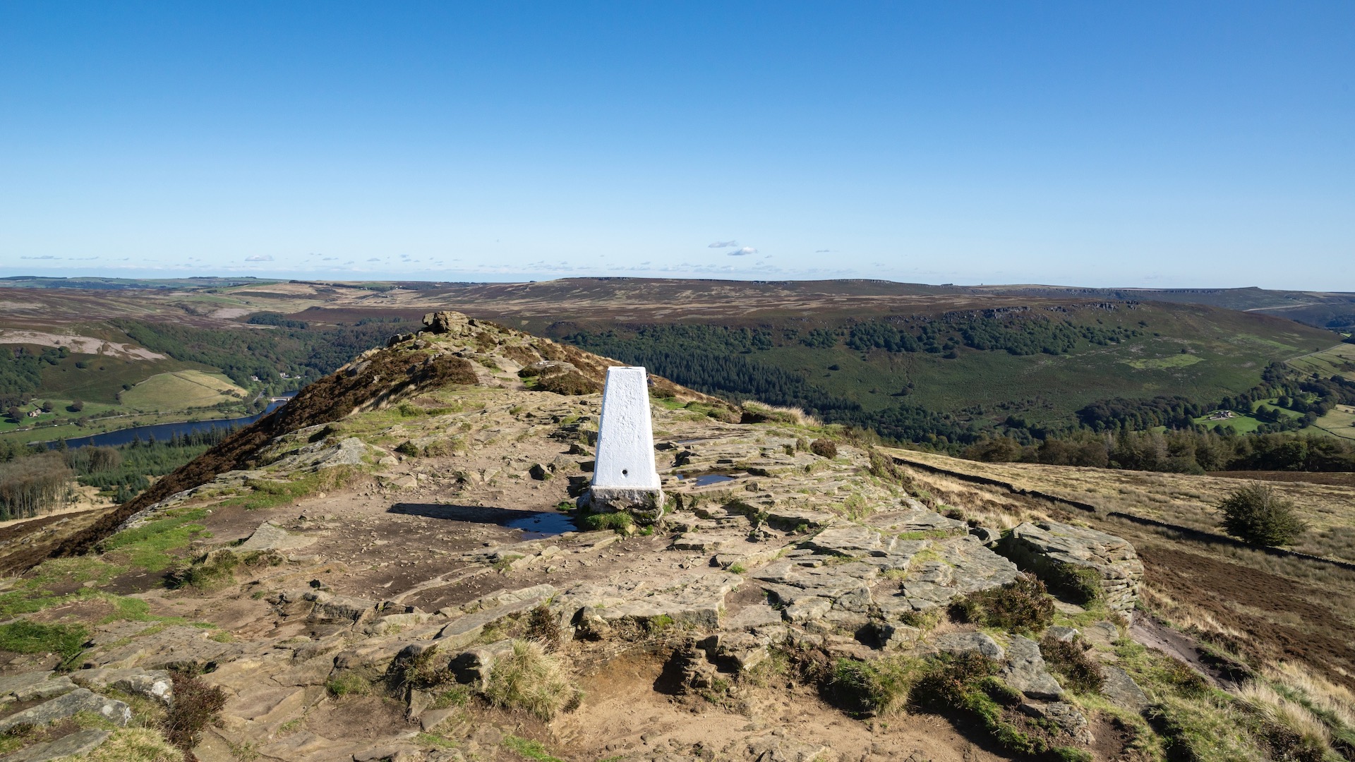
There are more than 6,000 remaining trig pillars spread across the Britain landscape and most can be "bagged" by using a map and compass. Trig pillar locations are marked by a small blue triangle on OS maps.
You can choose to walk, run or, in some cases, cycle, to a trig. While some trig bagging routes offer an easy going stroll others form the basis of a more challenging mountain hike.
Many people enjoy "bagging" or "ticking off" a list of trigs. For example, you could hike, run or cycle to all the trig pillars in your country or region, or aim to reach all the trig pillars on one OS Landranger map.
Trig bagging is also a great activity for families, especially if you look for pillars that are located on smaller hills. Let your children show you the way by map and compass.
Some people set themselves the challenge of reaching a set number of trigs in a day, such as all the trigs in your local hills.
There are some useful resources for discovering the location of trigs, such as:
- Trig bagging
- Haroldstreet.org.uk/trigpoints/
- Trig pointing
- Also see the book: Trig Point Walks on the Isle of Skye and Raasay
Britain’s top trig bagger
- It took Rob Woodall 14 years to bag all the remaining trig pillars in Britain
- He completed a list of 6,190 trigs in 2021
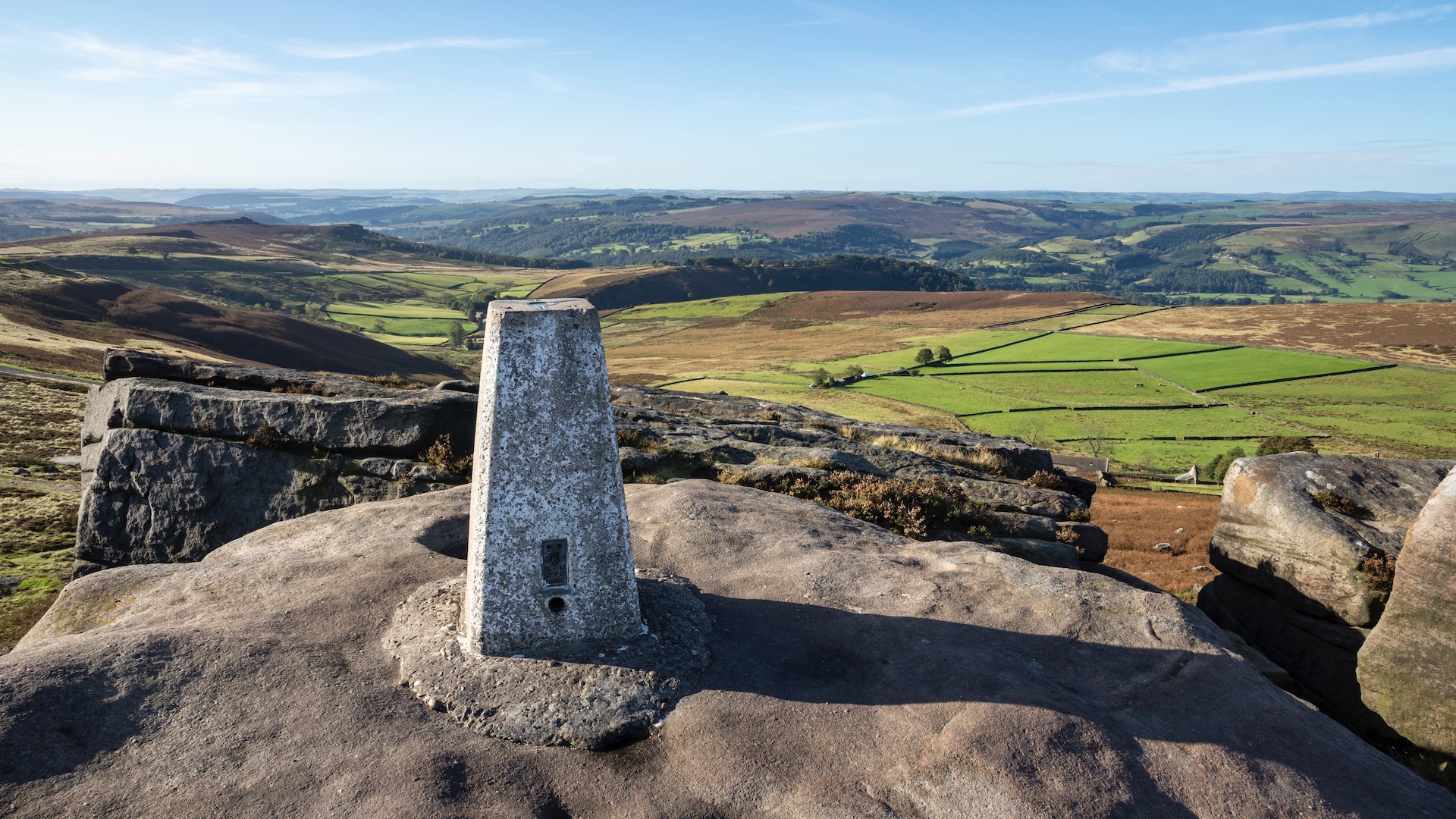
It took one extraordinary trig bagger 14 years to bag all the existing trig pillars in Britain. On April 16, 2016, Rob Woodall walked to his final trig point on Benarty Hill in Fife.
Rob, of Peterborough, completed a list of 6,190 trigs and celebrated his achievement with 29 friends and fellow trig baggers in 2021.
He said: “It’s been a great adventure to walk to – and to try to discover – all the remaining trig pillars. I have visited some very remote places in Britain but also reached trigs that are located in very easy places to walk to.”
An OS spokesperson described Rob’s quest as a “seriously impressive achievement”.
7 fascinating facts about trig pillars
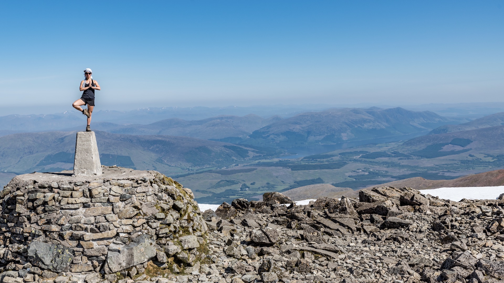
1. The highest trig pillar sits on the top of Ben Nevis in the Scottish Highlands.
2. The lowest trig pillar is at Little Ouse, sited at -1m, Cambridgeshire, England.
3. Trig pillars are usually made of concrete.
4. Pillars are shaped like truncated square pyramids or obelisks that taper towards the top.
5. Like an iceberg, there is a large part of the trig pillar below the ground's surface.
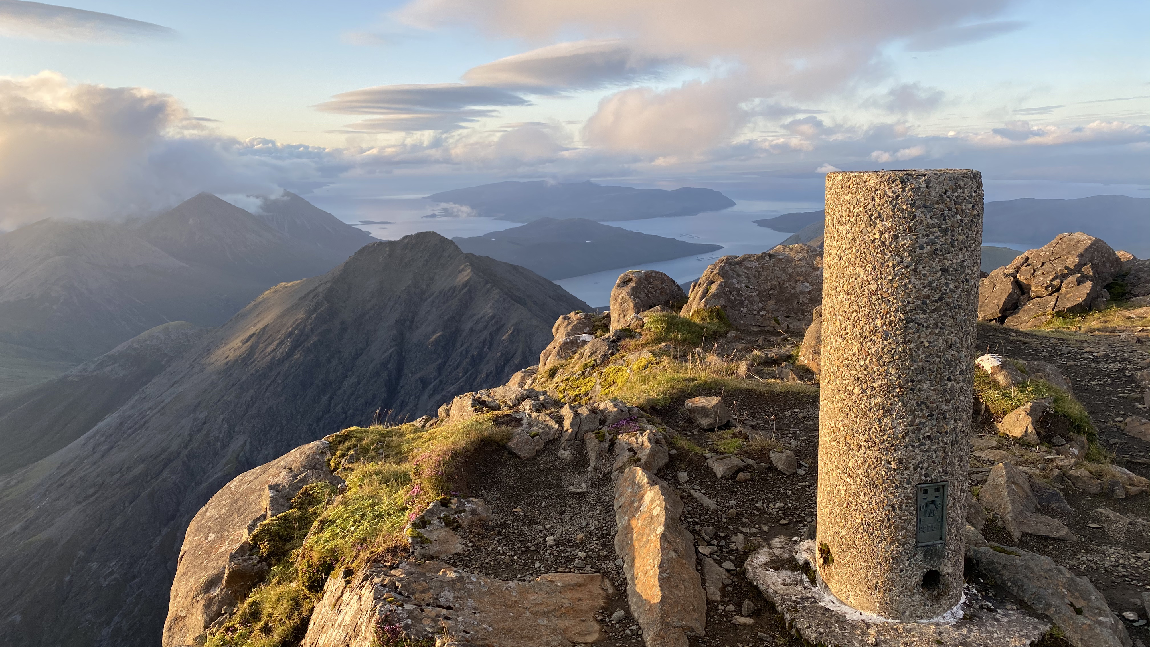
6. In Scotland, some pillars are called Vanessas. These are taller, cylindrical concrete pillars.
7. The Isle of Skye's Black Cuillin Ridge only has one trig pillar, on the summit of Bruach Na Frithe. It's thought the rest of the peaks on the ridge were too challenging for OS to contemplate.
Fiona Russell is a widely published adventure journalist and blogger, better known as Fiona Outdoors. She is based in Scotland and is an all-round outdoors enthusiast with favorite activities including trail running, mountain walking, mountain biking, road cycling, triathlon and skiing (both downhill and backcountry). Aside from her own adventures, Fiona's biggest aim is to inspire others to enjoy getting outside and exploring, especially through her writing. She is also rarely seen without a running skort! Find out more at Fiona Outdoors.
