
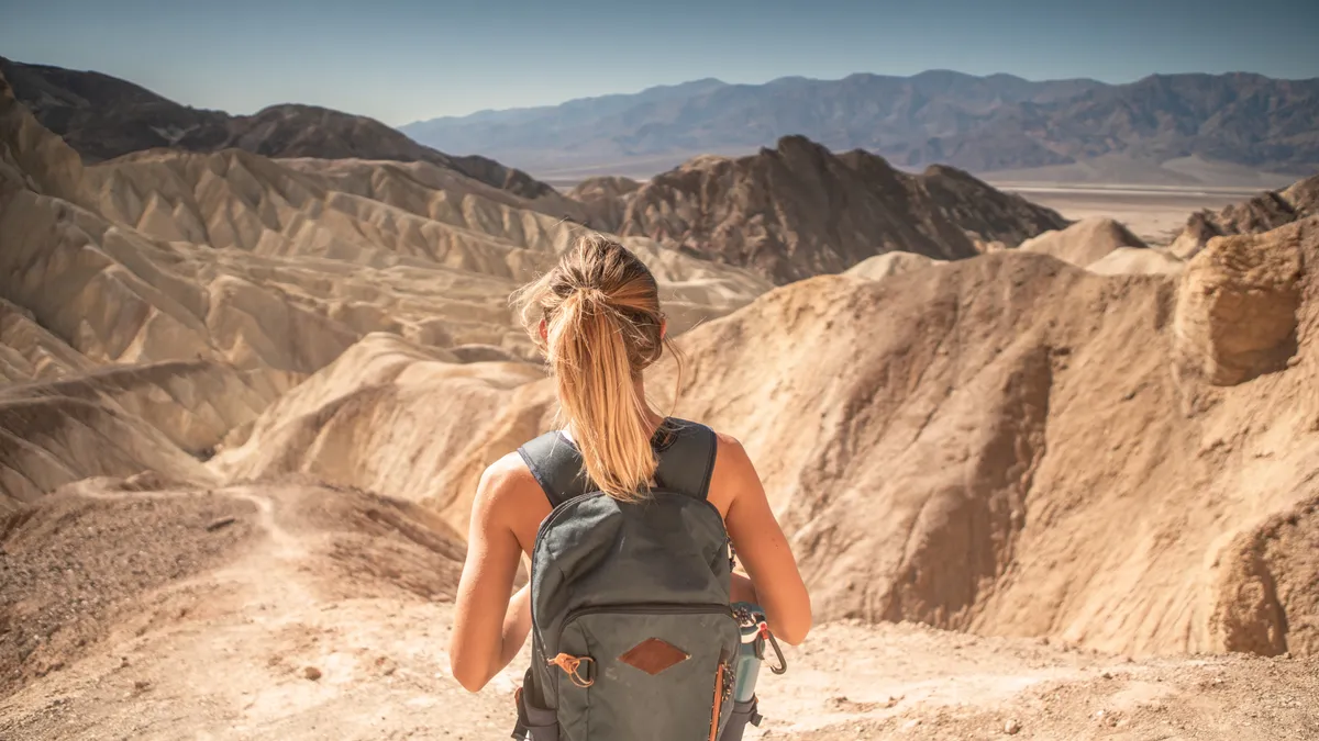
Death Valley might be one of the world’s most iconic landscapes, but it’s often overlooked as a hiking destination, probably due to the fact that for most of the year, it’s an oven and perhaps because many assume the desert scenery will be rather bleak. Well, the best hikes in Death Valley National Park are here to change your mind about all that, with volcanic fields, multi-colored rock canyons, sand dunes the size of mountains and deep, salt-covered basins.
Death Valley holds the distinction of being the hottest, driest and lowest National Park in the US, and while that may sound foreboding, its geography also means it stuns its visitors with looming sand dunes and peaks, endless salt flats and basins and – despite the name – surprising diversity of wildlife. Situated in the northern Mojave desert, the park straddles California and Nevada, and is approximately four hours from LA and just over two hours from Las Vegas.

This vast desert boasts some of the darkest night skies in the country, making it one of our top picks for National Parks for stargazing, but during the day you’ll need to make special preparations for the extreme heat. During the summer months, daytime highs often top 120°F (48°C) and night temperatures don’t get below the 90s (or 30s in Celsius). However in the colder months, Death Valley is a comfortable 70 degrees during the day making it one of the best National Parks to visit in winter.

Death Valley is surrounded by four major mountain ranges which block most rainfall and make it extremely dry, so you’ll want to read up on desert hiking before you go. It’s famously home to the lowest point in North America and its landscape is stark yet eerily beautiful.
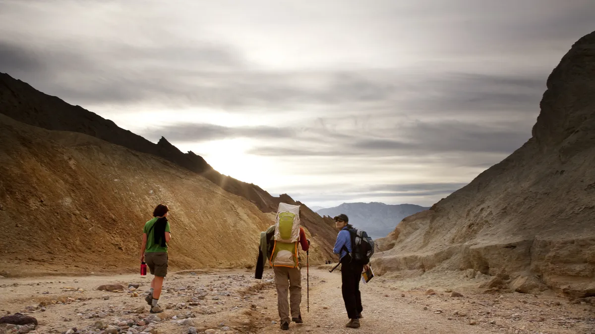
It may be tempting to head out in your flip flops, given the temperatures and the short distance of many of the hikes on this list, but to do any serious exploring here, you’ll want to wear your best hiking boots and carry plenty of water.
Badwater Basin Salt Flat

Distance: 1.9 miles
Difficult: Easy
At 282ft below sea level, Badwater Basin is the lowest point in North America. Ascend into the salt flat via a wooden boardwalk and you’ll find yourself in a surreal landscape of a vast flat valley covered in a thick layer of salt that looks a bit like snow, surrounded by towering mountains. The flat was the bed of an inland sea in prehistoric times and in rainy years, a small temporary lake sometimes reappears here. Once you get to the end of the boardwalk, wander around as long as you like, taking in the sights and silence, then return the way you came.
Mesquite Flat Sand Dunes

Distance: 2 miles
Difficult: Easy
Eroding mountains and wind patterns form many sand dunes in Death Valley, and while Mesquite Flat Sand Dunes aren’t the largest, they’re some of the most popular. The highest dune rises 100ft up from the valley floor and while there isn’t an official trail, a hike to the top requires about two miles of hiking. This terrain is home to kangaroo rats and rattlesnakes as well as mesquite trees that burst into color in the spring. Dawn and dusk are the best times to catch the dramatic shadows on the dunes.
Desolation Canyon
Distance: 3.6 miles
Difficult: Moderate
Desolation Canyon is preferred by hikers seeking a bit of an escape from the crowds, and offers volcanic landscape and striped rocks colored orange and green by iron and other minerals. Go past the parking lot at the Golden Canyon trailhead and proceed to the unmarked dirt road on the left. From the parking area, head northeast to the entrance of the big canyon to pick up the unmarked trail. This high walled canyon becomes progressively narrower as you hike and about one mile in, there is an eight foot drop that requires a little scrambling, but the panoramic views from the ridge at the end are well worth it.
Natural Bridge Trail

Distance: 1.4 miles
Difficult: Easy
Natural Bridge Trail is perfect for anyone interested in geology. This trail has a gravel surface, which makes the ascent a bit difficult, but it only takes half a mile or so of hiking before you reach the impressive 50ft natural rock bridge formed by wind erosion that spans the width of the canyon. Hike under the bridge and continue to see evidence of long dried up streams and falls that left their mark on the rocks thousands of years ago, and imagine what the area must once have looked like before today’s chronic droughts.
Golden Canyon and Gower Gulch loop
Distance: 4 miles
Difficult: Moderate
This popular hike takes you through geological wonders and delivers some of the best views of the badlands. There are a few ways to do it, but for a full day you can begin in Golden Canyon where you’ll find colorful canyon walls and exciting offshoot canyons that you can explore as you like. Follow the signs to Manly Beacon, where you’ll enjoy panoramic views of the badlands, before descending into Gower Gulch passing old borax mines and dry falls. As an alternative, you can follow the Badlands trail to Zabriskie Point for another scenic overlook before descending.
Darwin Falls

Distance: 2 miles
Difficult: Easy
It might sound impossible, but there is water to be found in Death Valley. Darwin Falls is one of the only year-round waterfalls in the park and standing in this lush, green oasis in the middle of the desert feels positively surreal. This hike starts out as yet another gravel-lined canyon floor hike but after half a mile or so, it transforms into a paradise of willows and cottonwoods and takes you over several creek crossings before you arrive at the delightful wispy waterfall.
Mosaic Canyon

Distance: 3.5 miles
Difficult: Moderate
Mosaic Canyon is a fascinating slot canyon that gives you a taste of canyoneering without requiring equipment or experience. This canyon is formed of a natural, cement-like substance that holds fragments of many types of rock giving the appearance of small, colorful tiles. The hike starts out with a wide wash but quickly leads you to the exciting, narrow winding passageway of the canyon. Upon encountering a large boulder that appears to be blocking your way, you can turn back or, with a little finesse, squeeze through and keep going. You’ll encounter another such obstacle a little further on but again, you can climb over it and keep going until you reach a small amphitheater where you can enjoy lunch before turning back.
Ubehebe Crater

Distance: 1.8 miles
Difficult: Moderate
Formed by volcanic steam explosions, the cavernous Ubehebe Crater is 600ft deep and half a mile wide with colorful rock walls. You can easily descend down to the bottom of the crater, but the hike back up is not so fun. Alternatively, you can take a two-mile circuit around the rim from where you’ll enjoy all the best sights, or just take the shorter Little Hebe trail along the western rim to a smaller crater.

