Disaster! Your phone just died in the middle of a hike, and you were using it to navigate – now what do you do?
We speak to mountain rescue about reducing your reliance on your phone when you're out on the trail

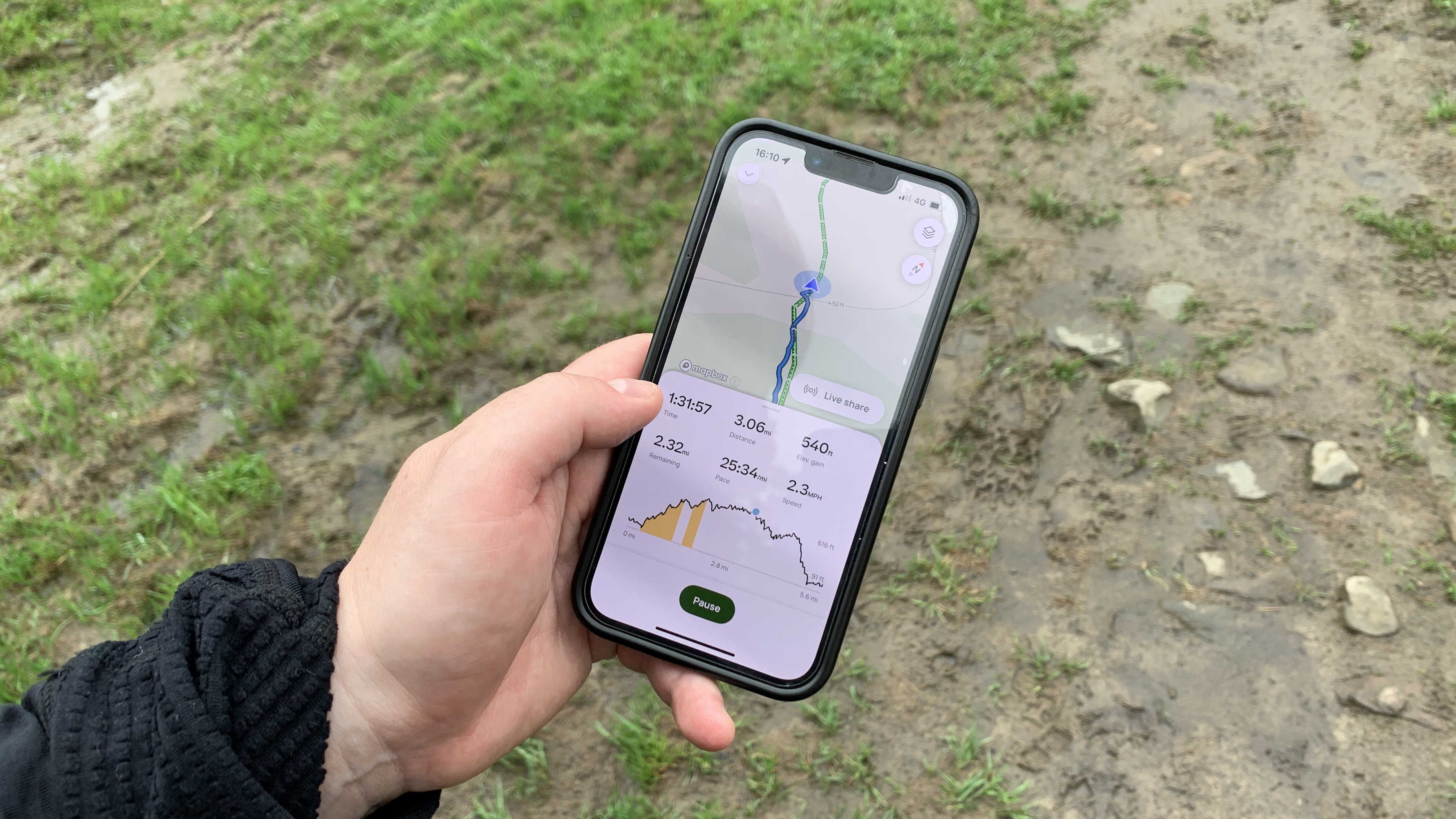
Like most things in modern life, technology has made hiking a whole lot easier. Looking for a new trail? There’s an app for that. Just download AllTrails and you can search for trails near you, filter them by what you do and don’t want to see, and even check the conditions along the way. When you’ve found a route you like the look of, download it to your phone, hit start, and follow the pointer.
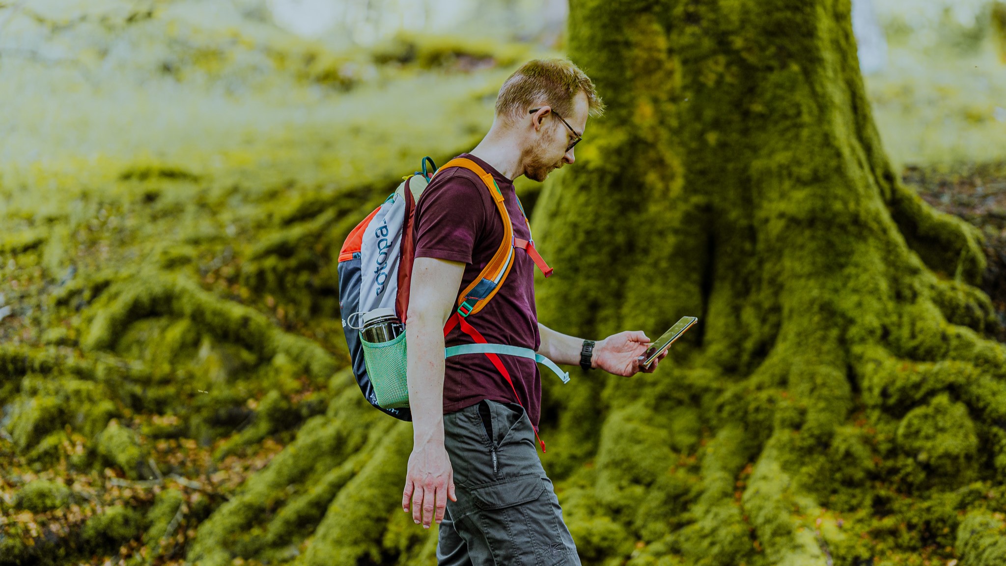
But what happens when you pull your phone out of your pocket and realize the battery is dead?
It’s an all-too-common story, and an over-reliance on phones is one of the reasons why 2024 was a record-setting year for mountain rescue teams across the hiking world, from Aspen,Colorado to the highlands of Scotland.
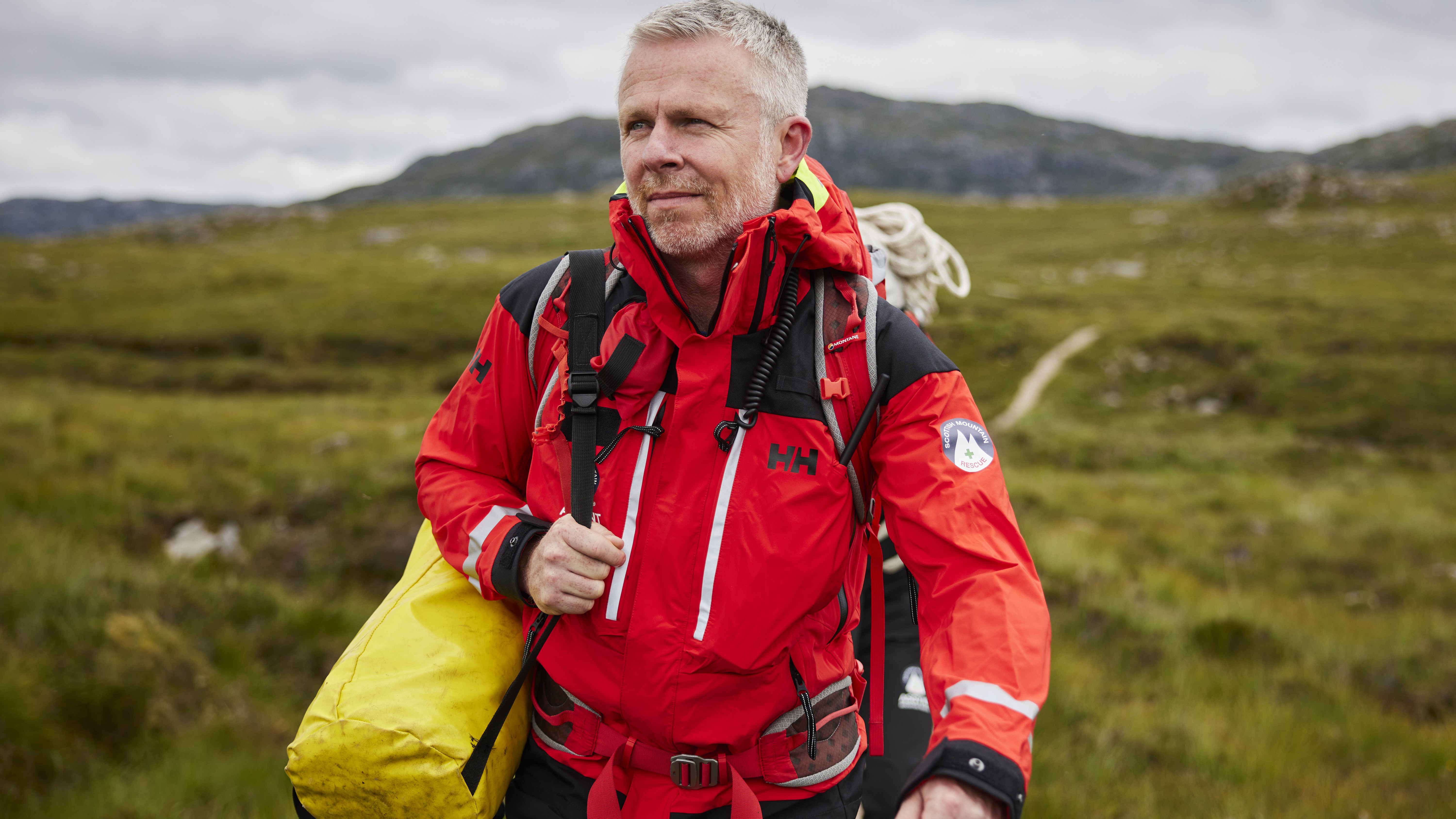
With long days and warmer weather incoming, I recently spoke to Ben Dyson, Assynt Mountain Rescue Team Leader, about what we as hikers can do to reduce the strain on search and rescue. His team covers a relatively small but rugged area of Scotland, and yet it still put in 3,000 hours last year between training and rescues.
Straight away, Dyson is clear that while you should definitely bring your phone on a hike, the download-and-go approach to hiking won’t cut it.
“You should never be entirely reliant on your smartphone when navigating in a mountainous or wilderness environment.”
The good news is that, if you’re reading this, it means your phone is working, and hopefully that means you haven’t left for your hike yet. If that’s the case, there are a few things you need to do before you set off, and you might want to put a pin in your plans until you’ve checked a few things off the list.
All the latest inspiration, tips and guides to help you plan your next Advnture!

Have a plan B
First, you need to get yourself a compass (I love my Silva Expedition 4) and a paper map of the area where you’ll be hiking.
Yes, the big bright map on your phone is extremely useful, but if your phone dies and you don’t have a way to recharge it, it’s just a really expensive rectangle. A map and compass add mere grams to your pack and don’t require an electrical outlet to operate, so if your phone runs out of juice, grab these out and get oriented with your surroundings.
“Use these tools to identify your current location – if you’re unsure, look for specific landmarks to help identify where you are – and safely continue along your journey,” says Dyson.
Of course, you’ll need to familiarize yourself with how to use these tools before you set off, so don’t think you can just swing by REI on your way to the trailhead, but this doesn’t mean you need to take an advanced mountain leader course either.
Start with our articles on how to use a compass and how to read a map. Practice in your backyard. And for next steps, look for courses near you, or find one online (the group Girls on Hills holds regular navigation classes with Silva online).
“There are loads of great courses out there that teach these skills, and it is really rewarding putting them to use,” says Dyson.
So you’re going to have to hold off on that hike for at least a few days while you get your navigational aids and figure them out – but don’t worry, there’s plenty you can be doing in the meantime.
And a plan C
Think you can just charge your phone in the car on your way to the trailhead as an insurance plan? Think again. Hop on Amazon and order yourself a portable phone charger.
“Bear in mind that mobile phone batteries lose charge a lot more quickly in cold conditions,” says Dyson – and cold conditions are what you’re likely to find on a mountain top, no matter the climate or season. There’s also the fact that using the GPS on your phone to navigate uses up battery faster too, even with offline maps.
My phone is six years old, and I like to take a lot of photos on a hike, so I always bring my lightweight Belkin charger with me, along with my charging cable, and I often end up needing them if I’m out for more than a couple of hours.
For remote areas and bigger expeditions, Dyson says it is worth investing in more tech, meaning a satellite communicator. Devices like the Garmin InReach aren’t cheap, especially as they often require a monthly subscription plan, and it’s not reasonable to expect every hiker in the world to invest in one. But if you’re going way off-grid, these tools provide additional navigation and let you call for help from anywhere if you find yourself in hot water, plus the charge lasts for weeks.
Pick up the phone
This article might be all about getting less reliant on your phone, but you might want to use it for one more task before setting off on your hike – phone or text someone you trust and give them a detailed plan of your itinerary.
That includes the time you’re setting off, the route you’re taking (not just the peak you’re climbing, as there are often multiple routes), and when you expect to return. This way, if your phone and map both get swept away by a river and you can’t find your way back to the car, someone will soon raise the alarm.
Finally, Dyson warns, “Don’t forget to let that person know once you have returned safely.”

Time to go – but leave a trail
You’re finally ready to go on that hike. But don’t get too comfortable just because your pack is full of navigational tools. Instead, Dyson says, stay aware of your surroundings and if you’re worried about finding your way, consider chronicling your journey and sharing your progress with a friend.
“Periodically take photos of significant locations along your route and, when connectivity allows, send them to a friend or family member to let them know where you are.”
If you’re following a GPX map, he says you could also accompany the photo with a screenshot showing your current location on the map.
“This will be useful, time-stamped information for the emergency services in the event a search becomes necessary.”
The chances are, your emergency contact won’t need to do anything and will just feel like they’re vicariously following along on your hike, but if things fall apart, you’ve left a trail of digital breadcrumbs.
Of course, the more you use your phone on the trail, the more likely it is to die, so the most important thing is to make sure that you’re taking mental notes.
“Mentally logging features along your journey too, along with the time you were at them, will be a huge help if at any stage you need to relocate using your map and compass.”

And if it all falls apart?
If, despite all your best intentions, you find yourself out in the backcountry with a dead phone and no idea where you are or how to get to your destination, what do you do?
“Definitely don’t panic,” says Dyson.
“If you really don’t feel safe or able to continue navigating on your journey by alternative means, then you will need to stay where you are and wait for help to arrive.”
That might mean waiting several hours for mountain rescue volunteers to find you, and longer if you don’t have any means to call for help, so wrap up in extra layers (always bring an insulated jacket like a fleece as well as waterproof layers which block the wind), seek shelter (in bivy sack or bothy bag) and sit on your backpack to avoid heat loss from the ground. Drink water and eat regular snacks to keep your blood glucose levels up and keep your body warm.
And of course, there won’t be any Candy Crush or Pokémon Go to keep you occupied, so enjoy the views.
Julia Clarke is a staff writer for Advnture.com and the author of the book Restorative Yoga for Beginners. She loves to explore mountains on foot, bike, skis and belay and then recover on the the yoga mat. Julia graduated with a degree in journalism in 2004 and spent eight years working as a radio presenter in Kansas City, Vermont, Boston and New York City before discovering the joys of the Rocky Mountains. She then detoured west to Colorado and enjoyed 11 years teaching yoga in Vail before returning to her hometown of Glasgow, Scotland in 2020 to focus on family and writing.

