I haven’t scaled Everest or climbed K2, but I’ve hiked 30 of Colorado’s 14ers, and even some of the more notoriously challenging ones, like Castle Peak and Longs Peak. I’m no stranger to hard work, but out of all of those hikes, there’s one in particular that sticks out in my memory as being the most taxing and that was Mount Shavano in the Sawatch Range.
Shavano isn’t the tallest 14er (that’s Mount Elbert) or the longest (Pikes Peak) or even the most technical that I’ve tackled (Longs) so while I was expecting a challenge, I wasn’t anticipating it to be absolutely grueling from start to finish. I was in between knee surgeries at the time so it’s definitely possible that my fitness levels weren’t what they once were, or are now, but I recall every hiker I passed saying the same thing: “Isn't this one brutal?”
So what makes a hiking trail hard? I recently wrote about what makes a good hiking trail and it occurred to me that it’s also helpful to know what features to look out for when trying to determine how difficult a trail will be. Removing variable factors like weather and fitness, there are a few characteristic traits that will tell you if you’re going to be bounding along the trail in your hiking boots, or suffering with every step.


1. Unrelenting incline
It seems obvious that to get to the top of a mountain, you need to go up, but many mountain hikes involve rolling terrain and long flat sections where you can catch your breath, whereas the most difficult ones seem to be near-vertical from start to finish. This can be really taxing on your legs and lungs as well as your psychological state. You have to stop frequently to recover which can feel really dispiriting, especially if you’re used to tearing up mountains.
When you’re looking at the trail stats (or a topo map) look out for trails that gain 500 feet per mile or more, as these will likely involve a lot of climbing. Capitol Peak near Aspen is generally considered to be Colorado's most challenging 14er, gaining 5,300 feet over its 8.5 mile ascent whereas Mount Massive is roughly the same distance but entails 2,200 feet less climbing. My nemesis, Shavano, gains over a thousand feet per mile for all 4.5 miles.
It’s a good idea to familiarize yourself with the hiking trail difficulty rating system so you can understand how strenuous the trail ahead of you might be, and know that the steeper a hike it, the slower you will walk. That said, a trail that gains a lot of elevation but has lots of switchbacks can help with this.
2. Boulder and scree fields
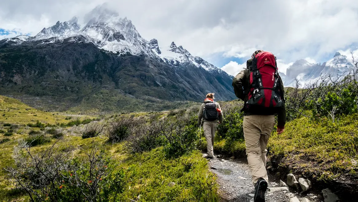
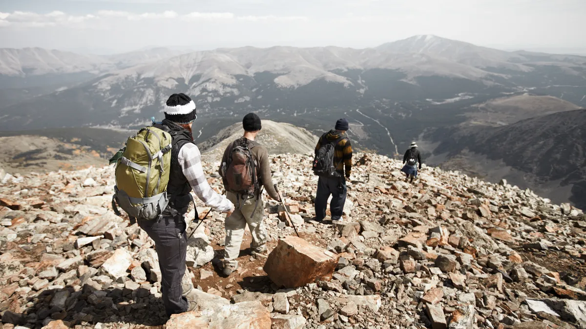
Like most 14ers, the summit of Shavano is reached by navigating loose, annoying rock. If you’ve never been up above treeline, your idea of a hiking trail might be a soft dirt path that winds through a forest. Once you get up high, however, the trees melt away and the landscape transforms quite dramatically. Often at the top of high peaks like 14ers and Munros, you’ll discover there’s no longer a path at all and instead you have to tackle great big piles of rock.
Boulder fields are exactly what they sound like and they make for laborious climbing and descents, as you pick your way from one lopsided boulder to another. These present lots of opportunities to fall, so it can be helpful to use your hands as well as your feet and even a trekking pole to test the rock you’re about to step onto to help with balance. Boulder fields also make navigation really difficult, because there is usually no real trail and your way is marked by rock cairns, which are of course just piles of gray rock on top of piles of gray rock.
In addition to boulder fields, you might encounter scree (or talus) fields and slopes up high, which are giant areas of smaller, shifting rocks. Scree can also be tricky to walk on and make navigation difficult. Hiking uphill on scree is especially slow going and when you’re coming downhill it tends to shift underfoot and make you prone to slipping.
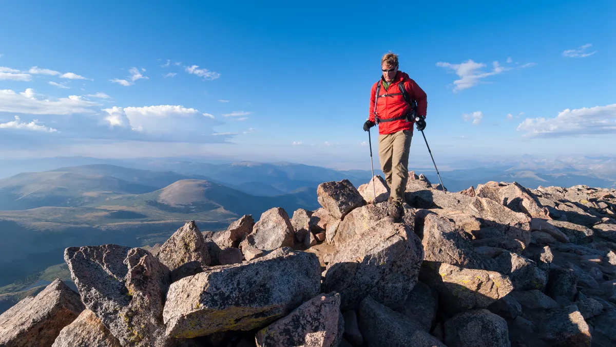
3. High altitude
Not all hiking trails go up mountains and even those that do may not take you especially high. The highest mountain in Scotland, Ben Nevis, is only around 4,400 feet high for example, while New Hampshire’s Mount Washington caps out at 6,288, making neither big contenders for altitude symptoms.
But if you’re hiking out west, there’s a much higher chance of you getting above 8,000 feet, which definitely means the best views and the quietest spots, but at this height, it also means less oxygen per breath which can lead to swollen fingers and altitude sickness. If you’re heading up beyond 8,000ft, make sure you train for high altitude hiking, acclimate before you set off and drink more water than usual.
4. Exposed terrain
In addition to the shortage of oxygen at altitude, once you get up above treeline, there's typically no shelter and you’re going to be more exposed. The longer you spend above treeline, the more vulnerable you are to the elements and fast changing weather conditions such as lightning strikes, windburn, snow, hail and scorching sunshine. Learning how to read a map will help you understand what kind of mileage you're likely to spend above treeline to help you ascertain how arduous the hiking might be.
- Best hiking shoes: lightweight footwear for summer adventures

